
| Distance / Altitude | Location | Report Date / Time | Live Weather | Wind | Gusts | Temp. | Visibility | Cloud |
|---|---|---|---|---|---|---|---|---|
| 64 km ESE / 218 m | Eareckson/Shemya Airport (Alaska) | 2024-04-28 13:55 local (2024/04/28 22:55 GMT) | Mist - | strong winds from the SSE (39 km/h at 150) | — | 8 | ||
| 249 km NE / 15 m | SHIP5153 (Marine) | 2024-04-28 15:00 local (2024/04/29 00:00 GMT) | fresh winds from the SE (37.080000000000005 km/h at 140) | 3°C | - km | |||
| 249 km NE / 3 m | SHIP10154 (Marine) | 2024-04-28 15:00 local (2024/04/29 00:00 GMT) | fresh winds from the SE (37 km/h at 140) | 10°C | - | |||
| 249 km NE / 15 m | SHIP309 (Marine) | 2024-04-28 15:00 local (2024/04/29 00:00 GMT) | fresh winds from the SE (37.080000000000005 km/h at 140) | 3°C | - km | |||
| 277 km NNE / - m | SHIP3798 (ocean) | 2024-04-28 13:00 local (2024/04/28 22:00 GMT) | - | fresh winds from the SE (32 km/h at 140) | 3°C | - | no observation |
| Contours: | Roads & Rivers: | Select a
tide station / surf break / city |
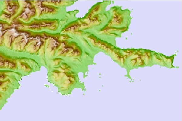
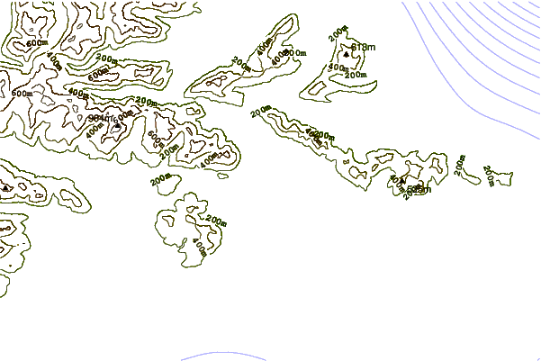
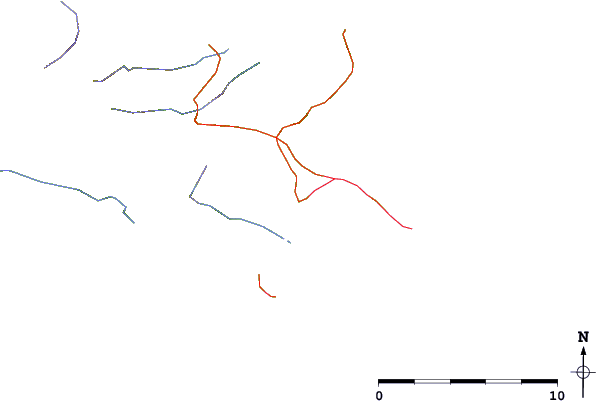
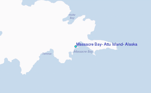
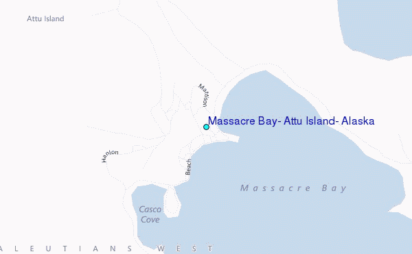
Use this relief map to navigate to tide stations, surf breaks and cities that are in the area of Massacre Bay, Attu Island, Alaska.
Other Nearby Locations' tide tables and tide charts to Massacre Bay, Attu Island, Alaska:
click location name for more details
 Surf breaks close to Massacre Bay, Attu Island, Alaska:
|
||
|---|---|---|
| Closest surf break | Khalaktyrsky Beach | 597 mi |
| Second closest surf break | Monashka Bay | 1379 mi |
| Third closest surf break | Termination Point | 1380 mi |
| Fourth closest surf break | Mill Bay | 1382 mi |
| Fifth closest surf break | Fossil Beach Kodiak | 1382 mi |

 Nearest
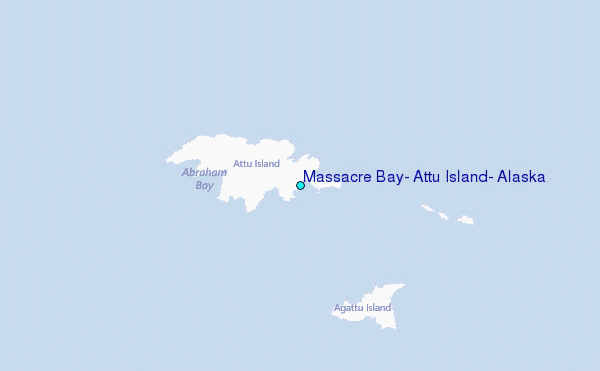