
| Distance / Altitude | Location | Report Date / Time | Live Weather | Wind | Gusts | Temp. | Visibility | Cloud |
|---|---|---|---|---|---|---|---|---|
| 94 km SSE / 212 m | Maasin (Philippines) | 2024-04-28 17:00 local (2024/04/28 09:00 GMT) | haze | light winds from the NE (18 km/h at 40) | 32°C | 20 | - - - | |
| 109 km NNE / 96 m | Catbalogan-Samar (Philippines) | 2024-04-28 17:00 local (2024/04/28 09:00 GMT) | no report | light winds from the E (7 km/h at 100) | 34°C | 30 | - - - | |
| 136 km NE / 95 m | Borongan (Philippines) | 2024-04-28 17:00 local (2024/04/28 09:00 GMT) | haze | calm (4 km/h at 60) | 30°C | 20 | - | |
| 140 km E / 214 m | Guiuan (Samar Island) (Philippines) | 2024-04-28 17:00 local (2024/04/28 09:00 GMT) | haze | light winds from the E (18 km/h at 90) | 30°C | 20 | - - - | |
| 166 km SE / 219 m | Surigao (Philippines) | 2024-04-28 17:00 local (2024/04/28 09:00 GMT) | haze | light winds from the E (14 km/h at 90) | 30°C | 25 | - - - |
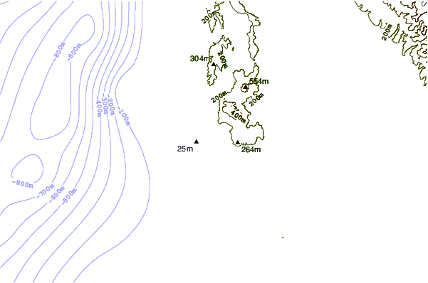
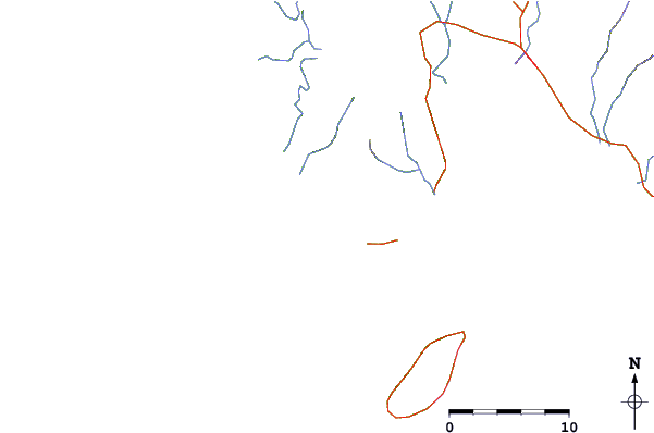
| Contours: | Roads & Rivers: | Select a
tide station / surf break / city |
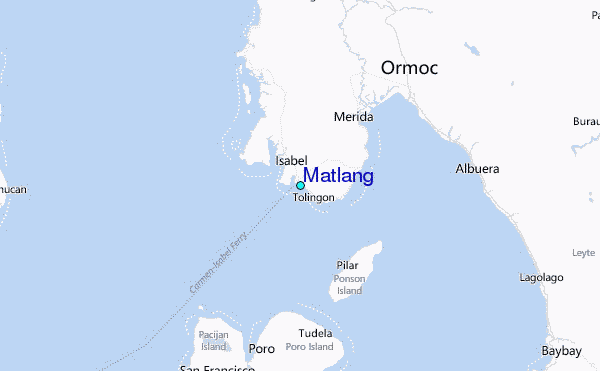
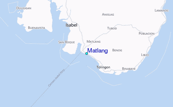
Use this relief map to navigate to tide stations, surf breaks and cities that are in the area of Matlang.
Other Nearby Locations' tide tables and tide charts to Matlang:
click location name for more details
 Surf breaks close to Matlang:
|
||
|---|---|---|
| Closest surf break | Llorente | 83 mi |
| Second closest surf break | Boulevard | 83 mi |
| Third closest surf break | Guitagican Beach | 83 mi |
| Fourth closest surf break | Pirates Cove | 83 mi |
| Fifth closest surf break | Santa Monica | 86 mi |

 Nearest
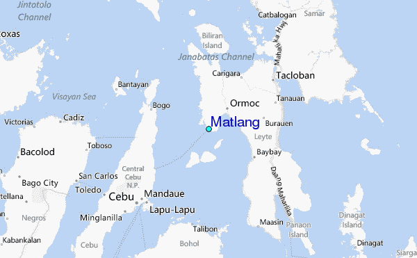