
| Distance / Altitude | Location | Report Date / Time | Live Weather | Wind | Gusts | Temp. | Visibility | Cloud |
|---|---|---|---|---|---|---|---|---|
| 157 km ENE / 22 m | Arctic Bay Airport (Nunavut) | 2024-04-29 14:00 local (2024/04/29 18:00 GMT) | Dry and partly cloudy | fresh winds from the SE (30 km/h at 140) | -13°C | 16 | few broken | |
| 158 km ENE / 2 m | Arctic Bay Airport (N.w. Territories) | 2024-04-29 14:00 local (2024/04/29 18:00 GMT) | - | moderate winds from the SSE (22 km/h at 160) | -14°C | 0.0 | ||
| 286 km NW / 216 m | Resolute Airport (N.w. Territories) | 2024-04-29 14:00 local (2024/04/29 18:00 GMT) | Dry and partly cloudy | moderate winds from the S (26 km/h at 170) | -18°C | 40 | scattered broken | |
| 287 km NW / 30 m | Resolute CS Airport (Nunavut) | 2024-04-29 14:00 local (2024/04/29 18:00 GMT) | no report | moderate winds from the S (24 km/h at 180) | -18°C | 0.0 | - - - | |
| 374 km S / 191 m | Spence Bay Airport (N.w. Territories) | 2024-04-29 14:00 local (2024/04/29 18:00 GMT) | Ice crystals | light winds from the WSW (19 km/h at 250) | -17°C | 24 | few |
| Contours: | Roads & Rivers: | Select a
tide station / surf break / city |
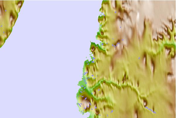
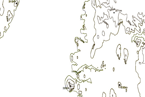
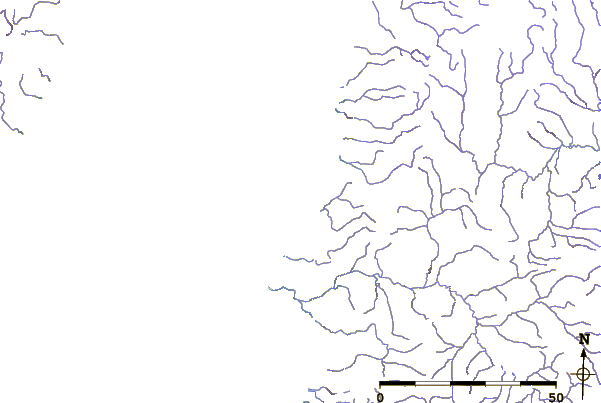
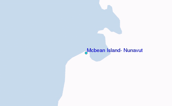
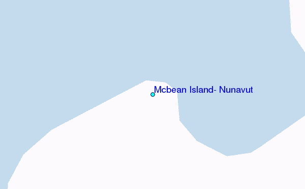
Use this relief map to navigate to tide stations, surf breaks and cities that are in the area of Mcbean Island, Nunavut.
Other Nearby Locations' tide tables and tide charts to Mcbean Island, Nunavut:
click location name for more details
 Surf breaks close to Mcbean Island, Nunavut:
|
||
|---|---|---|
| Closest surf break | Graveyards | 1603 mi |
| Second closest surf break | Cannon Beach | 1605 mi |
| Third closest surf break | Ocean Cape | 1605 mi |
| Fourth closest surf break | Marathon | 1655 mi |
| Fifth closest surf break | Garur | 1705 mi |

 Nearest
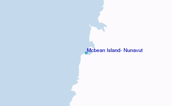