
| Distance / Altitude | Location | Report Date / Time | Live Weather | Wind | Gusts | Temp. | Visibility | Cloud |
|---|---|---|---|---|---|---|---|---|
| 6 km S / 2 m | Bradenton wx (United States) | 2024-04-29 08:06 local (2024/04/29 12:06 GMT) | dry | calm (0 km/h at 351) | 14°C | - | - - 0 | |
| 12 km N / 3 m | BUOY-PMAF1 (Marine) | 2024-04-29 08:00 local (2024/04/29 12:00 GMT) | - (- km/h at -) | 19°C | - | |||
| 14 km NW / 3 m | BUOY-MTBF1 (Marine) | 2024-04-29 08:00 local (2024/04/29 12:00 GMT) | moderate winds from the ESE (21 km/h at 110) | 20°C | 10.9 | |||
| 15 km S / 219 m | Sarasota/Bradenton Airport (Florida) | 2024-04-29 06:53 local (2024/04/29 10:53 GMT) | Clear | light winds from the E (13 km/h at 90) | 18°C | 16 | ||
| 26 km NW / 3 m | BUOY-SAPF1 (Marine) | 2024-04-29 08:00 local (2024/04/29 12:00 GMT) | light winds from the ESE (11 km/h at 110) | 22°C | - |
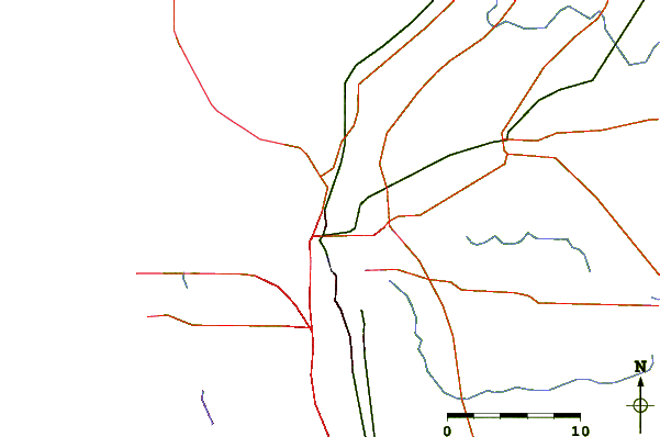
| Contours: | Roads & Rivers: | Select a
tide station / surf break / city |
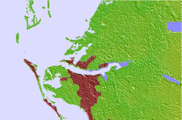
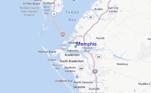
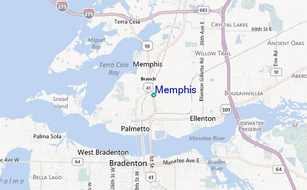
Use this relief map to navigate to tide stations, surf breaks and cities that are in the area of Memphis.
Other Nearby Locations' tide tables and tide charts to Memphis:
click location name for more details
 Surf breaks close to Memphis:
|
||
|---|---|---|
| Closest surf break | Bradenton Beach | 10 mi |
| Second closest surf break | Holmes Beach Pier | 10 mi |
| Third closest surf break | Anna Maria Island | 11 mi |
| Fourth closest surf break | Anna Maria Key | 11 mi |
| Fifth closest surf break | Siesta | 12 mi |

 Nearest
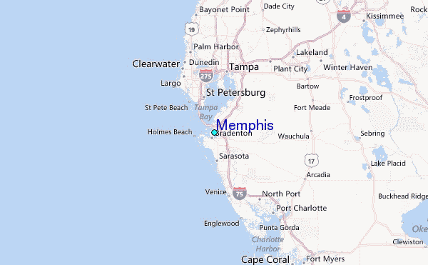