
| Distance / Altitude | Location | Report Date / Time | Live Weather | Wind | Gusts | Temp. | Visibility | Cloud |
|---|---|---|---|---|---|---|---|---|
| 580 km NW / 728 m | Gabagaba wx (Ethiopia) | 2024-04-29 00:21 local (2024/04/28 21:21 GMT) | dry | wind obs. (8 kph from 71 degs) was rejected (- km/h at -) | 14°C | - | - - 0 | |
| 620 km SW / 92 m | Garissa (Kenya) | 2024-04-29 00:00 local (2024/04/28 21:00 GMT) | no report | light winds from the S (19 km/h at 180) | 30°C | 30 | - - - | |
| 850 km SW / 1493 m | Embu Airport (Kenya) | 2024-04-29 00:00 local (2024/04/28 21:00 GMT) | intermittent light rain | - (- km/h at -) | 19°C | 25 | broken overcast - | |
| 854 km SSW / 179 m | Mombasa/Moi International Airport (Kenya) | 2024-04-29 01:00 local (2024/04/28 22:00 GMT) | - | light winds from the SW (7 km/h at 230) | 27°C | 10.0 | few | |
| 854 km SSW / 179 m | Mombasa-Moi International Airport (Kenya) | 2024-04-29 01:00 local (2024/04/28 22:00 GMT) | - | light winds from the SW (7 km/h at 230) | 27°C | 10.0 | few |
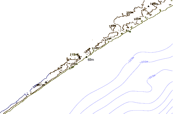
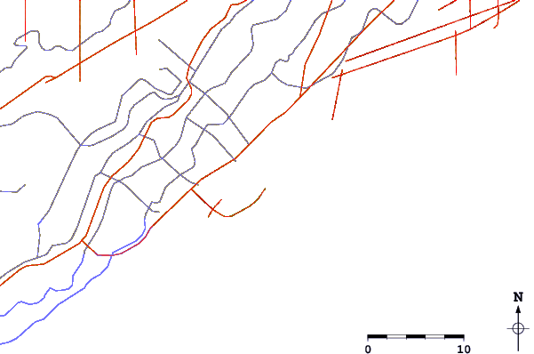
| Contours: | Roads & Rivers: | Select a
tide station / surf break / city |
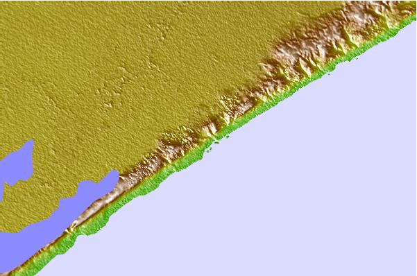
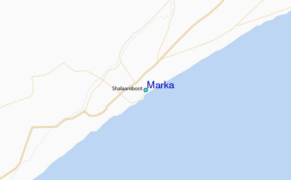
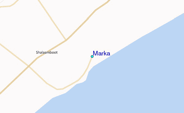
Use this relief map to navigate to tide stations, surf breaks and cities that are in the area of Marka.
Other Nearby Locations' tide tables and tide charts to Marka:
click location name for more details
 Surf breaks close to Marka:
|
||
|---|---|---|
| Closest surf break | Malindi Bay | 467 mi |
| Second closest surf break | Watamu Bay | 479 mi |
| Third closest surf break | Mombasa Channel | 533 mi |
| Fourth closest surf break | Nungwi Reefs | 637 mi |
| Fifth closest surf break | Jam's Right | 694 mi |

 Nearest
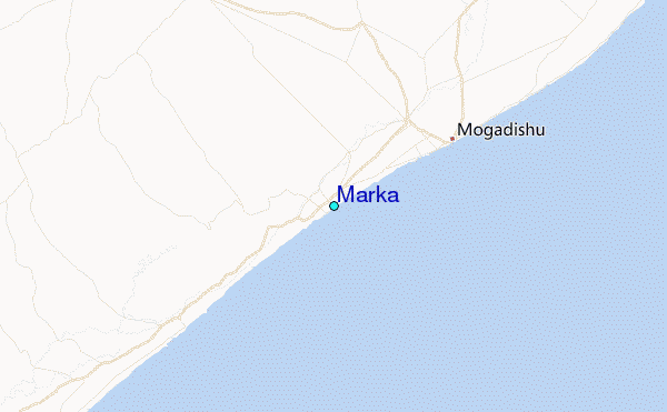