
| Distance / Altitude | Location | Report Date / Time | Live Weather | Wind | Gusts | Temp. | Visibility | Cloud |
|---|---|---|---|---|---|---|---|---|
| 2 km SSE / 218 m | Newport Airport (Rhode Island) | 2024-05-05 16:53 local (2024/05/05 20:53 GMT) | Dry and cloudy | light winds from the SSE (19 km/h at 160) | 8°C | 16 | overcast | |
| 6 km S / 3 m | BUOY-NWPR1 (Marine) | 2024-05-05 17:30 local (2024/05/05 21:30 GMT) | light winds from the SE (13 km/h at 140) | 9°C | - | |||
| 7 km N / 3 m | BUOY-PRUR1 (Marine) | 2024-05-05 17:30 local (2024/05/05 21:30 GMT) | - (- km/h at -) | 9°C | 10.9 | |||
| 11 km NW / 3 m | BUOY-PTCR1 (Marine) | 2024-05-05 17:30 local (2024/05/05 21:30 GMT) | light winds from the SSW (8 km/h at 210) | 9°C | - | |||
| 11 km W / 3 m | BUOY-QPTR1 (Marine) | 2024-05-05 17:30 local (2024/05/05 21:30 GMT) | moderate winds from the S (21 km/h at 180) | 9°C | - |
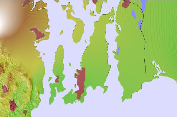
| Contours: | Roads & Rivers: | Select a
tide station / surf break / city |
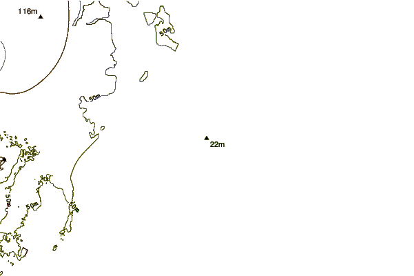
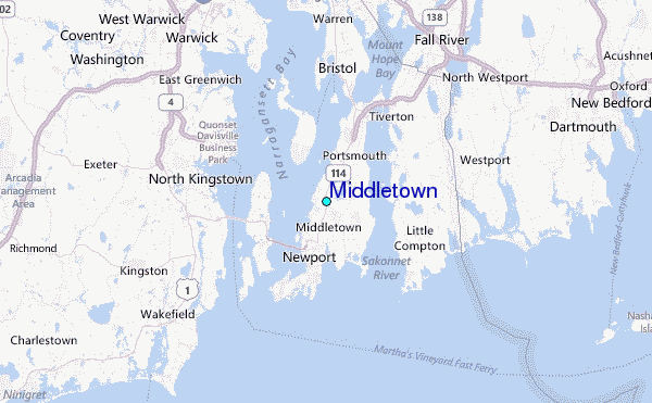
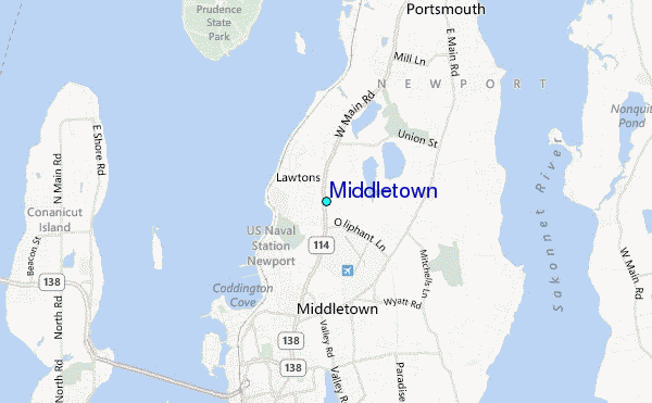
Use this relief map to navigate to tide stations, surf breaks and cities that are in the area of Middletown.
Other Nearby Locations' tide tables and tide charts to Middletown:
click location name for more details
 Surf breaks close to Middletown:
|
||
|---|---|---|
| Closest surf break | Eastons Beach (1st Beach) | 4 mi |
| Second closest surf break | Sachuest Beach (2nd Beach) | 4 mi |
| Third closest surf break | 2nd Beach | 4 mi |
| Fourth closest surf break | Tuckerman's | 5 mi |
| Fifth closest surf break | Ruggles | 6 mi |

 Nearest
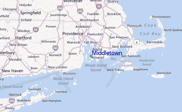