
| Distance / Altitude | Location | Report Date / Time | Live Weather | Wind | Gusts | Temp. | Visibility | Cloud |
|---|---|---|---|---|---|---|---|---|
| 5 km NW / 16 m | Wood Ridge (New Jersey) | 2024-04-30 23:04 local (2024/05/01 03:04 GMT) | dry | calm (0 km/h at 0) | 8°C | - | - - 0 | |
| 7 km N / 215 m | Teterboro Airport (New Jersey) | 2024-04-30 22:14 local (2024/05/01 02:14 GMT) | Dry and partly cloudy | light winds from the ENE (9 km/h at 60) | 12°C | 16 | few broken broken | |
| 8 km ESE / 219 m | New Your City/Central Park Airport (New York) | 2024-04-30 21:51 local (2024/05/01 01:51 GMT) | Dry and cloudy | light winds from the N (9 km/h at 1) | 12°C | 16 | broken overcast | |
| 12 km SSE / 7 m | Downtown Manhattan/Wall Street Heliport Airport (New york) | 2024-04-30 22:38 local (2024/05/01 02:38 GMT) | Dry and cloudy | light winds from the NE (17 km/h at 50) | 11°C | 16 | broken broken overcast | |
| 12 km SSE / 3 m | BUOY-BATN6 (Marine) | 2024-04-30 23:00 local (2024/05/01 03:00 GMT) | - (- km/h at -) | 11°C | - |
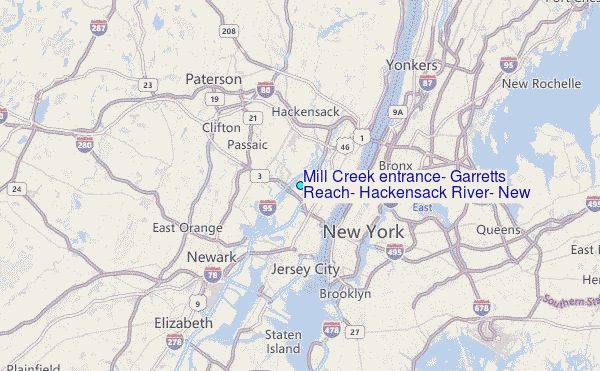
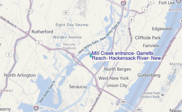
Choose Mill Creek entrance, Garretts Reach, Hackensack River, New Jersey Location Map Zoom:
| Contours: | Roads & Rivers: | Select a
tide station / surf break / city |
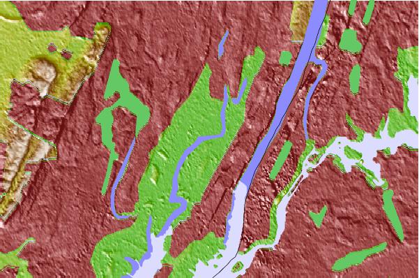
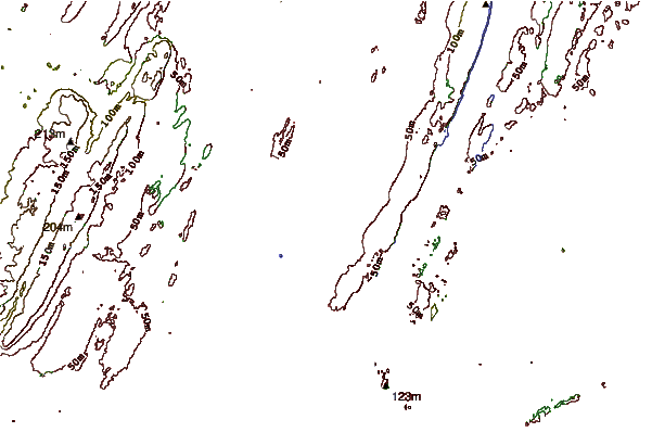
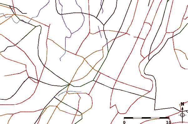
Use this relief map to navigate to tide stations, surf breaks and cities that are in the area of Mill Creek entrance, Garretts Reach, Hackensack River, New Jersey.
Other Nearby Locations' tide tables and tide charts to Mill Creek entrance, Garretts Reach, Hackensack River, New Jersey:
click location name for more details
 Surf breaks close to Mill Creek entrance, Garretts Reach, Hackensack River, New Jersey:
|
||
|---|---|---|
| Closest surf break | Rockaway | 19 mi |
| Second closest surf break | 92nd Street | 20 mi |
| Third closest surf break | Jones Beach | 22 mi |
| Fourth closest surf break | Connecticut Street Jetty | 24 mi |
| Fifth closest surf break | The Cove at Sandy Hook | 24 mi |

 Nearest
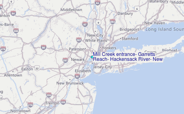