
| Distance / Altitude | Location | Report Date / Time | Live Weather | Wind | Gusts | Temp. | Visibility | Cloud |
|---|---|---|---|---|---|---|---|---|
| 34 km N / 194 m | Iles de la madel Airport (Quebec) | 2024-04-27 13:00 local (2024/04/27 17:00 GMT) | - | light winds from the NNW (17 km/h at 330) | 4°C | 0.0 | ||
| 34 km NNE / 11 m | IlesDELA Madeleine A- Que (Canada) | 2024-04-27 14:00 local (2024/04/27 18:00 GMT) | - | light winds from the NNW (17 km/h at 330) | 4°C | 50 km | - no observation - | |
| 35 km NNE / 163 m | Iles DE LA Madel Airport (Quebec) | 2024-04-27 13:00 local (2024/04/27 17:00 GMT) | - | light winds from the NNW (19 km/h at 340) | — | 32 | ||
| 73 km S / 8 m | EastPoint(Aut)- Pei (Canada) | 2024-04-27 14:00 local (2024/04/27 18:00 GMT) | - | moderate winds from the NNW (28 km/h at 330) | 4°C | - | - no observation - | |
| 74 km S / 217 m | East Point Airport (Prince Edward Islan) | 2024-04-27 13:00 local (2024/04/27 17:00 GMT) | - | moderate winds from the NNW (26 km/h at 330) | 4°C | 0.0 |
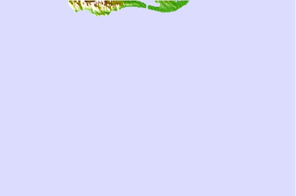
| Contours: | Roads & Rivers: | Select a
tide station / surf break / city |

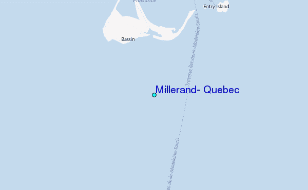
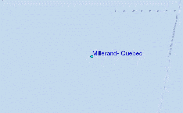
Use this relief map to navigate to tide stations, surf breaks and cities that are in the area of Millerand, Quebec.
Other Nearby Locations' tide tables and tide charts to Millerand, Quebec:
click location name for more details
 Surf breaks close to Millerand, Quebec:
|
||
|---|---|---|
| Closest surf break | Ingonish Beach | 78 mi |
| Second closest surf break | Michaud Point | 121 mi |
| Third closest surf break | Kennington Cove | 122 mi |
| Fourth closest surf break | Martinique | 179 mi |
| Fifth closest surf break | Lawrencetown Left Point | 185 mi |

 Nearest
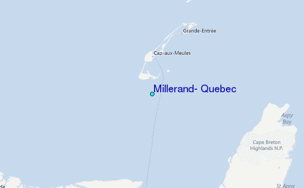