
| Distance / Altitude | Location | Report Date / Time | Live Weather | Wind | Gusts | Temp. | Visibility | Cloud |
|---|---|---|---|---|---|---|---|---|
| 55 km NNE / 212 m | Chignik Bay Airport (Alaska) | 2024-04-27 20:57 local (2024/04/28 04:57 GMT) | Dry and cloudy | moderate winds from the WSW (26 km/h at 240) | 6°C | 16 | overcast | |
| 119 km N / 209 m | Port Heiden Airport (Alaska) | 2024-04-27 20:56 local (2024/04/28 04:56 GMT) | Dry and partly cloudy | light winds from the WNW (7 km/h at 300) | 3°C | 16 | broken | |
| 122 km SW / 3 m | BUOY-SNDA2 (Marine) | 2024-04-27 22:00 local (2024/04/28 06:00 GMT) | moderate winds from the NNW (21 km/h at 340) | 4°C | - | |||
| 123 km SW / 216 m | Sand Point Airport (Alaska) | 2024-04-27 20:56 local (2024/04/28 04:56 GMT) | - | moderate winds from the NNW (26 km/h at 340) | 5°C | 16 | few | |
| 147 km WSW / 4 m | Nelson Lagoon Airport (Alaska) | 2024-04-27 20:59 local (2024/04/28 04:59 GMT) | Mist - | moderate winds from the NW (20 km/h at 320) | 2°C | 5 | overcast |
| Contours: | Roads & Rivers: | Select a
tide station / surf break / city |
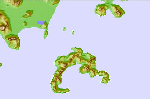
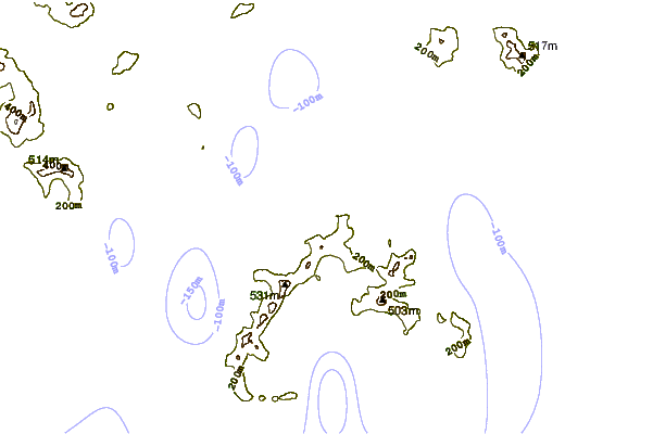
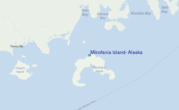
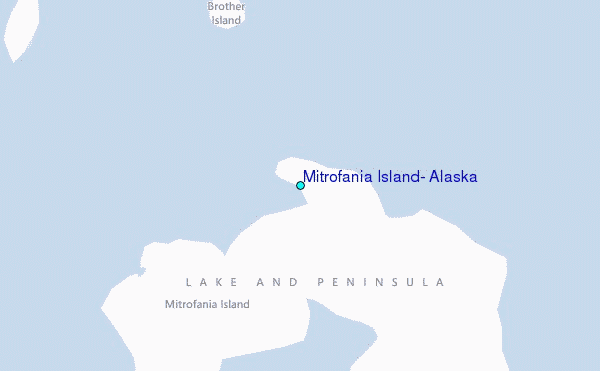
Use this relief map to navigate to tide stations, surf breaks and cities that are in the area of Mitrofania Island, Alaska.
Other Nearby Locations' tide tables and tide charts to Mitrofania Island, Alaska:
click location name for more details
 Surf breaks close to Mitrofania Island, Alaska:
|
||
|---|---|---|
| Closest surf break | Fossil Beach Kodiak | 268 mi |
| Second closest surf break | Monashka Bay | 276 mi |
| Third closest surf break | Termination Point | 278 mi |
| Fourth closest surf break | Mill Bay | 278 mi |
| Fifth closest surf break | Bird Point (Tidal Bore) | 429 mi |

 Nearest
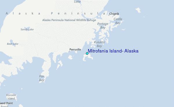