
| Distance / Altitude | Location | Report Date / Time | Live Weather | Wind | Gusts | Temp. | Visibility | Cloud |
|---|---|---|---|---|---|---|---|---|
| 61 km WSW / 15 m | ASCATB349E6N (Marine) | 2024-05-03 21:38 local (2024/05/03 21:38 GMT) | light winds from the SW (12 km/h at 230) | — | - km | |||
| 95 km SSE / 15 m | ASCATB350E6N (Marine) | 2024-05-03 21:38 local (2024/05/03 21:38 GMT) | moderate winds from the S (28 km/h at 172) | — | - km | |||
| 108 km S / 15 m | ASCATB349E5N (Marine) | 2024-05-03 21:38 local (2024/05/03 21:38 GMT) | light winds from the S (12 km/h at 186) | — | - km | |||
| 111 km SSE / 15 m | ASCATB350E5N (Marine) | 2024-05-03 21:38 local (2024/05/03 21:38 GMT) | moderate winds from the S (21 km/h at 174) | — | - km | |||
| 176 km W / 15 m | ASCATB348E7N (Marine) | 2024-05-03 21:38 local (2024/05/03 21:38 GMT) | light winds from the WSW (12 km/h at 245) | — | - km |
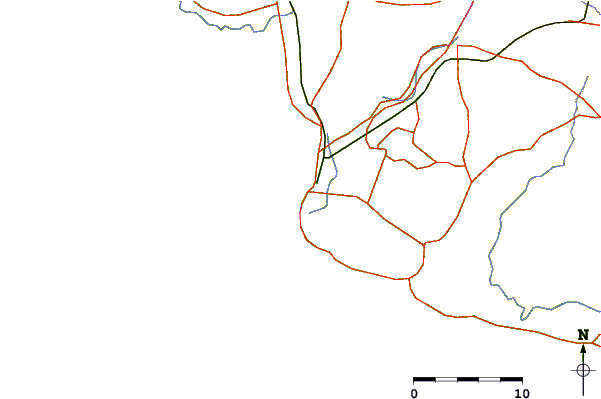
| Contours: | Roads & Rivers: | Select a
tide station / surf break / city |
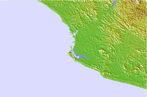
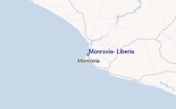
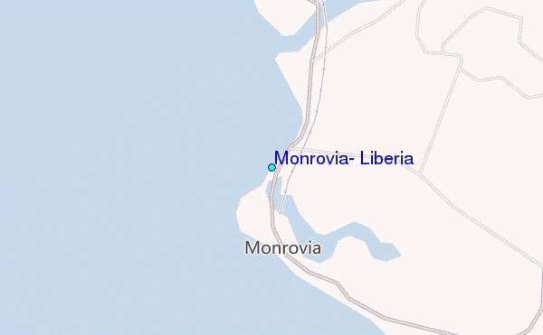
Use this relief map to navigate to tide stations, surf breaks and cities that are in the area of Monrovia, Liberia.
Other Nearby Locations' tide tables and tide charts to Monrovia, Liberia:
click location name for more details
 Surf breaks close to Monrovia, Liberia:
|
||
|---|---|---|
| Closest surf break | Mumba Point | 1 mi |
| Second closest surf break | 6th Street | 3 mi |
| Third closest surf break | Kendeja Resort | 11 mi |
| Fourth closest surf break | Silver Beach | 16 mi |
| Fifth closest surf break | El Loco | 48 mi |

 Nearest
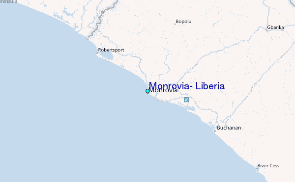