
| Distance / Altitude | Location | Report Date / Time | Live Weather | Wind | Gusts | Temp. | Visibility | Cloud |
|---|---|---|---|---|---|---|---|---|
| 36 km E / 1 m | Portillo (Dominican Republic) | 2024-05-02 05:00 local (2024/05/02 09:00 GMT) | - | calm (0 km/h at 154) | 24°C | - | - - 0 | |
| 86 km W / 466 m | Puerto Plata IN Airport (Dominican Republic) | 2024-05-02 05:00 local (2024/05/02 09:00 GMT) | Dry and partly cloudy | calm (0 km/h at 0) | 23°C | 10.0 | broken | |
| 90 km WSW / 209 m | Santiago International Airport (Dominican Republic) | 2024-05-02 04:00 local (2024/05/02 08:00 GMT) | Mist - | calm (0 km/h at 0) | 23°C | 1.0 | broken broken | |
| 99 km S / 41 m | Ensanche Savica de Mendoza wx (Dominican Republic) | 2024-05-02 04:26 local (2024/05/02 08:26 GMT) | dry | calm (0 km/h at 20) | 24°C | - | - - 0 | |
| 104 km S / 50 m | Bella Vista wx (Dominican Republic) | 2024-05-02 04:32 local (2024/05/02 08:32 GMT) | dry | calm (2 km/h at 48) | 25°C | - | - - 0 |
| Contours: | Roads & Rivers: | Select a
tide station / surf break / city |
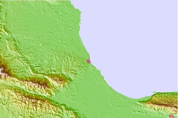


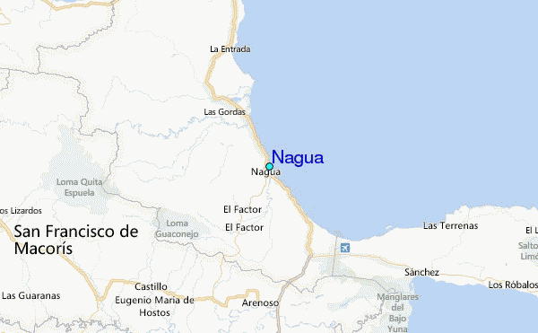
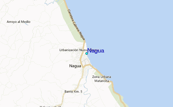
Use this relief map to navigate to tide stations, surf breaks and cities that are in the area of Nagua.
Other Nearby Locations' tide tables and tide charts to Nagua:
click location name for more details
 Surf breaks close to Nagua:
|
||
|---|---|---|
| Closest surf break | El Broke | 2 mi |
| Second closest surf break | El Coson | 21 mi |
| Third closest surf break | La Preciosa | 24 mi |
| Fourth closest surf break | La Punta | 24 mi |
| Fifth closest surf break | Playa Grande | 24 mi |

 Nearest
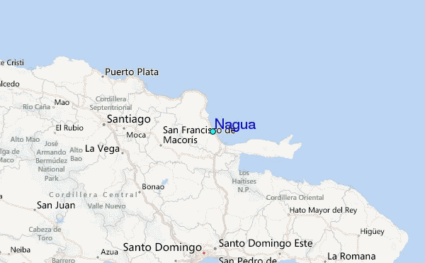