
| Distance / Altitude | Location | Report Date / Time | Live Weather | Wind | Gusts | Temp. | Visibility | Cloud |
|---|---|---|---|---|---|---|---|---|
| 8 km S / 3 m | Barbers Point Buoy- Kalaeloa (Marine) | 2024-05-01 21:00 local (2024/05/02 07:00 GMT) | - (- km/h at -) | 24°C | - | |||
| 12 km SE / 218 m | Kalaeloa Airport (Hawaii) | 2024-05-01 19:53 local (2024/05/02 05:53 GMT) | Clear | light winds from the ENE (7 km/h at 70) | 23°C | 16 | ||
| 17 km ENE / 717 m | Wheeler Air Force Base/oahu Airport (Hawaii) | 2024-05-01 19:55 local (2024/05/02 05:55 GMT) | Clear | calm (0 km/h at 0) | 22°C | 16 | ||
| 20 km E / 3 m | BUOY-PRHH1 (Marine) | 2024-05-01 21:00 local (2024/05/02 07:00 GMT) | light winds from the NNE (9 km/h at 20) | 24°C | - | |||
| 21 km E / 132 m | Pacific Palisades wx (United States) | 2024-05-01 21:18 local (2024/05/02 07:18 GMT) | dry | light winds from the E (8 km/h at 101) | 22°C | - | - - 0 |
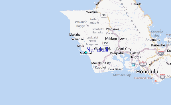
Other Nearby Locations' tide tables and tide charts to Nanakuli:
click location name for more details
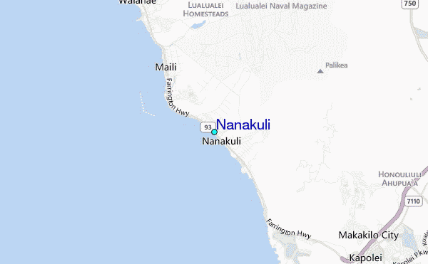
 Surf breaks close to Nanakuli:
|
||
|---|---|---|
| Closest surf break | Keaulanas | 1 mi |
| Second closest surf break | Tracks (Nanakuli) | 1 mi |
| Third closest surf break | Nanakuli Blackrocks | 2 mi |
| Fourth closest surf break | Maili Cloudbreak | 2 mi |
| Fifth closest surf break | Maili Point | 2 mi |

 Nearest
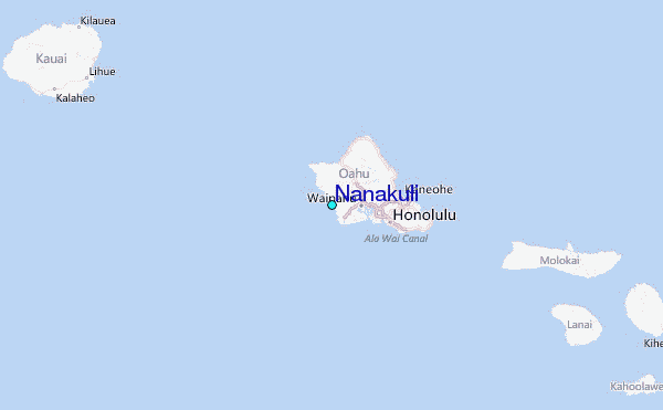