
| Distance / Altitude | Location | Report Date / Time | Live Weather | Wind | Gusts | Temp. | Visibility | Cloud |
|---|---|---|---|---|---|---|---|---|
| 58 km ENE / 96 m | Catbalogan-Samar (Philippines) | 2024-05-06 19:00 local (2024/05/06 11:00 GMT) | no report | calm (4 km/h at 340) | 33°C | 27 | - - - | |
| 122 km WNW / 35 m | Masbate (Philippines) | 2024-05-06 20:00 local (2024/05/06 12:00 GMT) | - | calm (4 km/h at 90) | 29°C | 35 km | scattered | |
| 123 km WNW / 210 m | Macatan Airport (Philippines) | 2024-05-06 20:00 local (2024/05/06 12:00 GMT) | Dry and partly cloudy | light winds from the NNE (18 km/h at 20) | 31°C | 30 km | few few - | |
| 190 km NW / 15 m | Legaspi (Philippines) | 2024-05-06 20:00 local (2024/05/06 12:00 GMT) | - | calm (0 km/h at 0) | 29°C | 35 km | scattered | |
| 215 km WSW / 80 m | Dalipdip wx (Philippines) | 2024-05-06 20:46 local (2024/05/06 12:46 GMT) | dry | calm (0 km/h at 204) | 27°C | - | - - 0 |
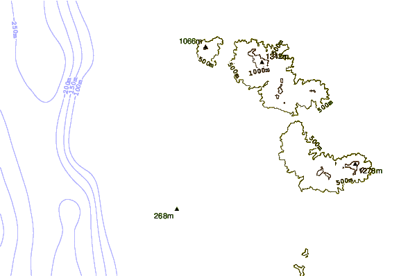
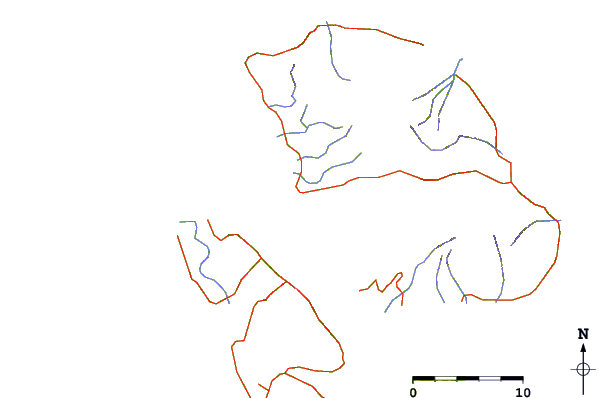
| Contours: | Roads & Rivers: | Select a
tide station / surf break / city |
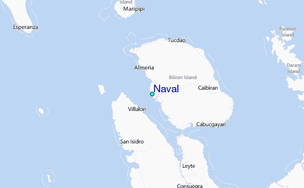
Use this relief map to navigate to tide stations, surf breaks and cities that are in the area of Naval.
Other Nearby Locations' tide tables and tide charts to Naval:
click location name for more details
 Surf breaks close to Naval:
|
||
|---|---|---|
| Closest surf break | Boulevard | 70 mi |
| Second closest surf break | Pirates Cove | 71 mi |
| Third closest surf break | Guitagican Beach | 73 mi |
| Fourth closest surf break | Santa Monica | 75 mi |
| Fifth closest surf break | Llorente | 79 mi |

 Nearest
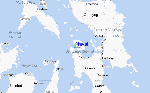