
| Distance / Altitude | Location | Report Date / Time | Live Weather | Wind | Gusts | Temp. | Visibility | Cloud |
|---|---|---|---|---|---|---|---|---|
| 8 km NNE / 70 m | Lupepau u (Tonga) | 2024-04-30 00:00 local (2024/04/29 11:00 GMT) | no report | light winds from the E (9 km/h at 90) | 28°C | 20 | - | |
| 311 km S / 200 m | Fua Amotu Tonga Airport (Tonga) | 2024-04-30 00:00 local (2024/04/29 11:00 GMT) | Dry and partly cloudy | light winds from the E (7 km/h at 90) | 26°C | 10.0 | scattered | |
| 383 km NW / 61 m | Niuafoou (Tonga) | 2024-04-30 01:00 local (2024/04/29 12:00 GMT) | no report | - (- km/h at -) | 29°C | 20 | - | |
| 430 km E / 22 m | NiueAirportAws (New Zealand) | 2024-04-30 00:00 local (2024/04/29 11:00 GMT) | no report | light winds from the ENE (7 km/h at 70) | 26°C | 10 | - no observation - | |
| 430 km E / 59 m | Hanan Airport (Cook Islands) | 2024-04-30 01:00 local (2024/04/29 12:00 GMT) | clouds dissolving | light winds from the ENE (7 km/h at 70) | 26°C | 20 | - |
| Contours: | Roads & Rivers: | Select a
tide station / surf break / city |
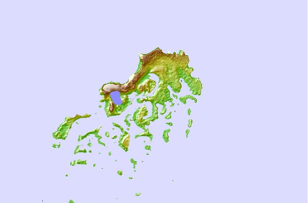
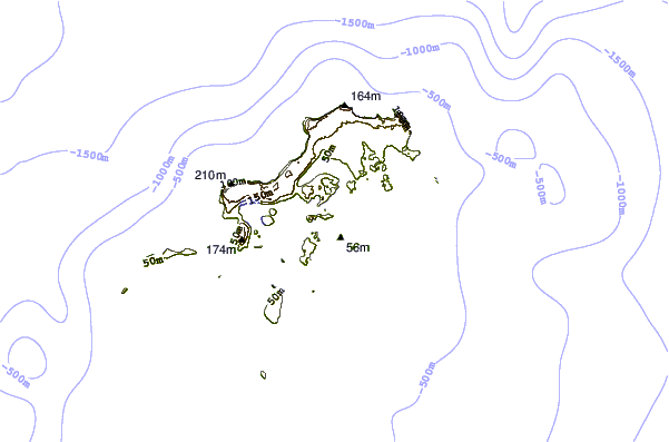
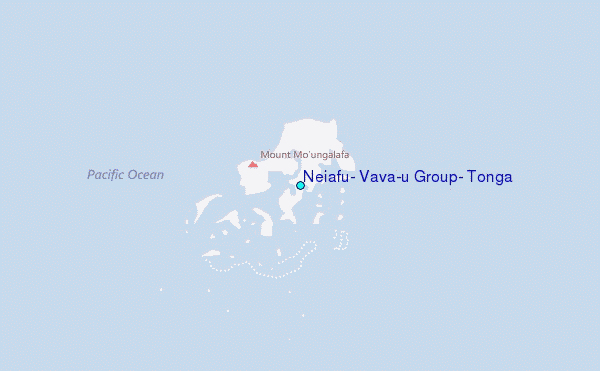
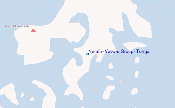
Use this relief map to navigate to tide stations, surf breaks and cities that are in the area of Neiafu, Vava`u Group, Tonga.
Other Nearby Locations' tide tables and tide charts to Neiafu, Vava`u Group, Tonga:
click location name for more details
 Surf breaks close to Neiafu, Vava`u Group, Tonga:
|
||
|---|---|---|
| Closest surf break | Middles (Ovaka) | 11 mi |
| Second closest surf break | Tommas (Ovaka) | 11 mi |
| Third closest surf break | Pass (Ovaka) | 11 mi |
| Fourth closest surf break | Good from afar (Foelifuka) | 12 mi |
| Fifth closest surf break | Bowling left | 13 mi |

 Nearest
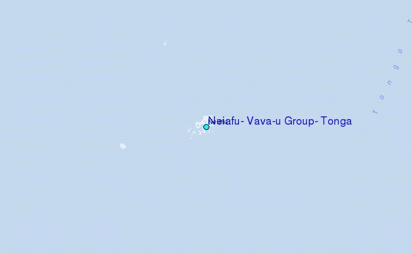