
| Distance / Altitude | Location | Report Date / Time | Live Weather | Wind | Gusts | Temp. | Visibility | Cloud |
|---|---|---|---|---|---|---|---|---|
| 19 km S / 15 m | Marina Herzlia (Israel) | 2024-04-29 12:00 local (2024/04/29 09:00 GMT) | - | light winds from the W (17 km/h at 277) | 23°C | - | - - 0 | |
| 27 km SE / 86 m | Bayt Amīn wx (Palestinian Territory) | 2024-04-29 12:08 local (2024/04/29 09:08 GMT) | dry | calm (3 km/h at 323) | 24°C | - | - - 0 | |
| 29 km NNE / 128 m | Zichron Take-off (Israel) | 2024-04-29 12:00 local (2024/04/29 09:00 GMT) | - | light winds from the NW (19 km/h at 310) | 21°C | - | - - 0 | |
| 37 km S / 49 m | Ben-GurionInt. Airport (Israel) | 2024-04-29 12:00 local (2024/04/29 09:00 GMT) | - | light winds from the NNE (11 km/h at 20) | 24°C | 30 km | mostly cloudy | |
| 37 km S / 218 m | Ben Gurion Airport (Israel) | 2024-04-29 11:20 local (2024/04/29 08:20 GMT) | Dry and partly cloudy | calm (4 km/h at 1) | 25°C | 10.0 | scattered scattered broken |
| Contours: | Roads & Rivers: | Select a
tide station / surf break / city |
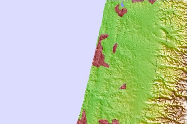
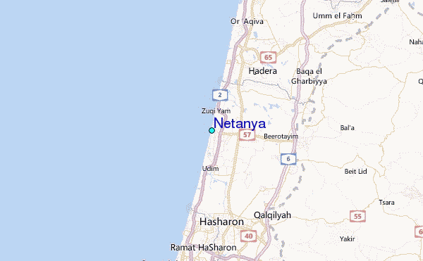
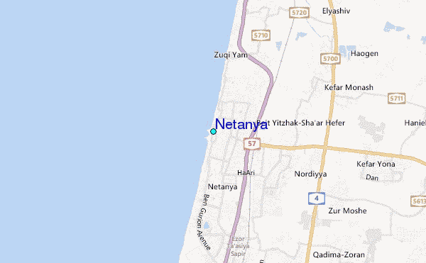
Use this relief map to navigate to tide stations, surf breaks and cities that are in the area of Netanya.
Other Nearby Locations' tide tables and tide charts to Netanya:
click location name for more details
 Surf breaks close to Netanya:
|
||
|---|---|---|
| Closest surf break | Ambatia Beach | 0 mi |
| Second closest surf break | Kontiki (Herzelia) | 0 mi |
| Third closest surf break | Sironit Beach | 1 mi |
| Fourth closest surf break | Dosim Beach | 1 mi |
| Fifth closest surf break | Argaman's Beach | 2 mi |

 Nearest
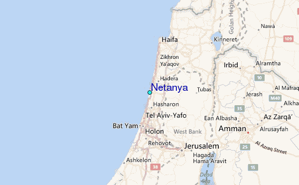