
| Distance / Altitude | Location | Report Date / Time | Live Weather | Wind | Gusts | Temp. | Visibility | Cloud |
|---|---|---|---|---|---|---|---|---|
| 15 km E / 0 m | Svenner LH (Norway) | 2024-04-28 23:00 local (2024/04/28 21:00 GMT) | no report | strong winds from the NE (40 km/h at 50) | 8°C | - | - - - | |
| 19 km NE / 40 m | Larvik (Norway) | 2024-04-28 23:44 local (2024/04/28 21:44 GMT) | dry | wind obs. (10 kph from 9 degs) was rejected (- km/h at -) | 7°C | - | - - 0 | |
| 19 km WNW / 60 m | Porsgrunn (Norway) | 2024-04-28 22:00 local (2024/04/28 20:00 GMT) | - | light winds from the NNE (11 km/h at 20) | 7°C | - | no observation | |
| 22 km SSW / 5 m | JomfrulandLH (Norway) | 2024-04-28 23:00 local (2024/04/28 21:00 GMT) | no report | moderate winds from the NNE (25 km/h at 20) | 8°C | - | - no observation - | |
| 34 km NE / 216 m | Torp Airport (Norway) | 2024-04-28 23:20 local (2024/04/28 21:20 GMT) | - | light winds from the NNE (17 km/h at 20) | 7°C | 10.0 |
| Contours: | Roads & Rivers: | Select a
tide station / surf break / city |
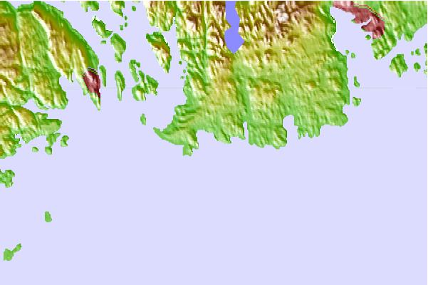
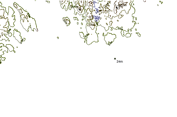
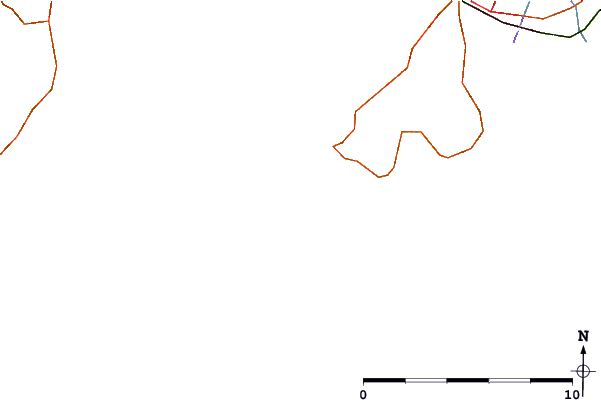
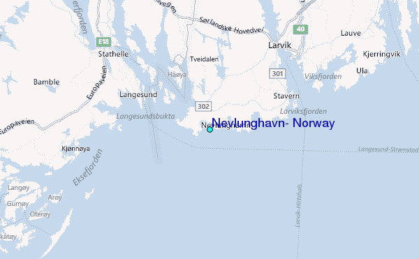
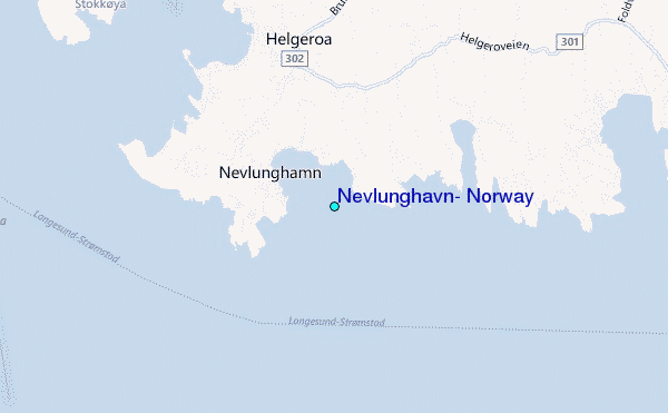
Use this relief map to navigate to tide stations, surf breaks and cities that are in the area of Nevlunghavn, Norway.
Other Nearby Locations' tide tables and tide charts to Nevlunghavn, Norway:
click location name for more details
 Surf breaks close to Nevlunghavn, Norway:
|
||
|---|---|---|
| Closest surf break | Saltstein or Saltstone | 1 mi |
| Second closest surf break | Valnäs - Nord Koster | 40 mi |
| Third closest surf break | Njerve Pipeline | 117 mi |
| Fourth closest surf break | Havik | 130 mi |
| Fifth closest surf break | Lista (Bausje) | 133 mi |

 Nearest
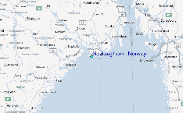