
| Distance / Altitude | Location | Report Date / Time | Live Weather | Wind | Gusts | Temp. | Visibility | Cloud |
|---|---|---|---|---|---|---|---|---|
| 24 km NNE / 18 m | Fallbrook wx (United States) | 2024-04-28 04:48 local (2024/04/28 11:48 GMT) | dry | calm (0 km/h at 132) | 9°C | - | - - 0 | |
| 24 km NNE / 20 m | Fallbrook wx (United States) | 2024-04-28 04:35 local (2024/04/28 11:35 GMT) | dry | calm (0 km/h at 105) | 10°C | - | - - 0 | |
| 25 km NNE / 12 m | Elk Grove (California) | 2024-04-28 04:31 local (2024/04/28 11:31 GMT) | dry | calm (0 km/h at 251) | 10°C | - | - - 0 | |
| 30 km N / 218 m | Sacramento Airport (California) | 2024-04-28 02:53 local (2024/04/28 09:53 GMT) | Clear | light winds from the SSE (6 km/h at 150) | 12°C | 16 | ||
| 34 km NE / 31 m | Dillard wx (United States) | 2024-04-28 04:45 local (2024/04/28 11:45 GMT) | dry | calm (0 km/h at ) | 9°C | - | - - 0 |
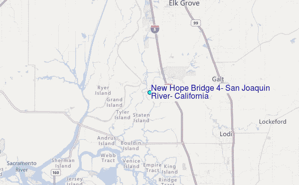
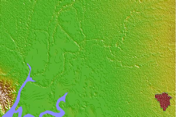
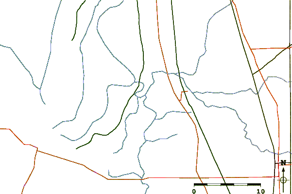
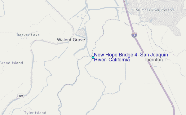
Choose New Hope Bridge #4, San Joaquin River, California Location Map Zoom:
| Contours: | Roads & Rivers: | Select a
tide station / surf break / city |

Use this relief map to navigate to tide stations, surf breaks and cities that are in the area of New Hope Bridge #4, San Joaquin River, California.
Other Nearby Locations' tide tables and tide charts to New Hope Bridge #4, San Joaquin River, California:
click location name for more details
 Surf breaks close to New Hope Bridge #4, San Joaquin River, California:
|
||
|---|---|---|
| Closest surf break | Fort Point | 61 mi |
| Second closest surf break | Deadman's | 63 mi |
| Third closest surf break | Fort Cronkite Rodeo Beach | 63 mi |
| Fourth closest surf break | Kellys Cove | 64 mi |
| Fifth closest surf break | Ocean Beach | 65 mi |

 Nearest
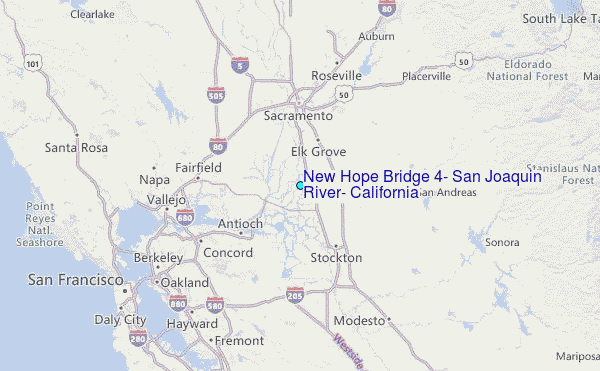