
| Distance / Altitude | Location | Report Date / Time | Live Weather | Wind | Gusts | Temp. | Visibility | Cloud |
|---|---|---|---|---|---|---|---|---|
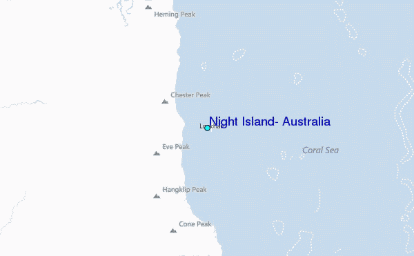
| 52 km NW / 18 m | Lockhart River (Australia) | 2024-05-04 23:00 local (2024/05/04 13:00 GMT) | no report | moderate winds from the SE (22 km/h at 130) | 26°C | - | - no observation - | |
| 81 km SSW / 244 m | Coen Airport (Australia) | 2024-05-04 23:00 local (2024/05/04 13:00 GMT) | - | light winds from the SE (6 km/h at 130) | 22°C | - | no observation | |
| 81 km SSW / 244 m | Coen Airport (Australia) | 2024-05-05 00:00 local (2024/05/04 14:00 GMT) | no report | light winds from the SE (6 km/h at 130) | 22°C | - | - no observation - | |
| 172 km W / 40 m | SchergerRaaf (Australia) | 2024-05-04 23:00 local (2024/05/04 13:00 GMT) | No report | light winds from the ESE (7 km/h at 110) | 25°C | - | - no observation - | |
| 188 km W / 471 m | Weipa Aerodrome (Australia) | 2024-05-05 00:00 local (2024/05/04 14:00 GMT) | no report | light winds from the E (11 km/h at 90) | 24°C | - | - scattered - |
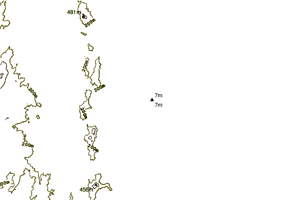
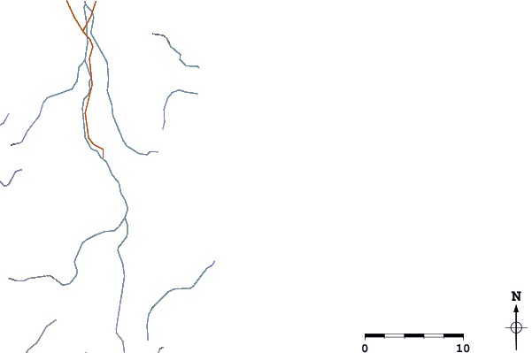
| Contours: | Roads & Rivers: | Select a
tide station / surf break / city |
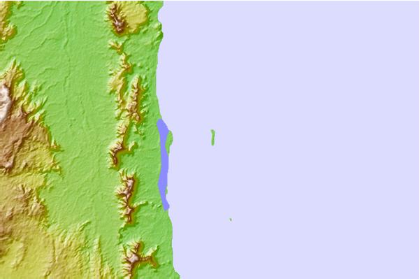
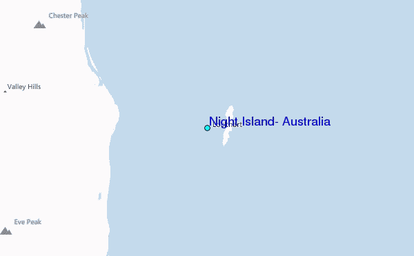
Use this relief map to navigate to tide stations, surf breaks and cities that are in the area of Night Island, Australia.
Other Nearby Locations' tide tables and tide charts to Night Island, Australia:
click location name for more details
 Surf breaks close to Night Island, Australia:
|
||
|---|---|---|
| Closest surf break | Tupira Right | 617 mi |
| Second closest surf break | Dolphin Heads | 657 mi |
| Third closest surf break | Eimeo Point | 657 mi |
| Fourth closest surf break | Forok Point | 661 mi |
| Fifth closest surf break | Lamberts Beach | 661 mi |

 Nearest
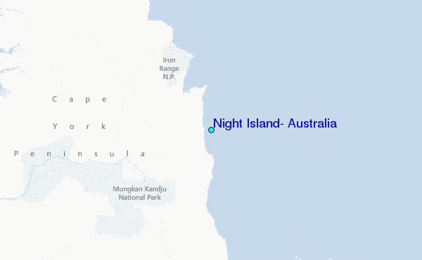