
| Distance / Altitude | Location | Report Date / Time | Live Weather | Wind | Gusts | Temp. | Visibility | Cloud |
|---|---|---|---|---|---|---|---|---|
| 17 km SSW / 7 m | West Palm Beach (FL) (Florida) | 2024-05-04 20:35 local (2024/05/05 00:35 GMT) | Dry and cloudy | light winds from the E (11 km/h at 100) | 24°C | 16 | broken overcast | |
| 25 km NW / 240 m | Stuart/Witham Field Airport (Florida) | 2024-05-04 19:47 local (2024/05/04 23:47 GMT) | Dry and partly cloudy | light winds from the ESE (19 km/h at 110) | 26°C | 16 | scattered | |
| 28 km S / 4 m | Sunsport Gardens Mobile Home Park wx (United States) | 2024-05-04 21:05 local (2024/05/05 01:05 GMT) | dry | calm (3 km/h at 150) | 26°C | - | - - 0 | |
| 33 km S / 218 m | West Palm Beach Airport (Florida) | 2024-05-04 19:53 local (2024/05/04 23:53 GMT) | Dry and partly cloudy | moderate winds from the E (24 km/h at 80) | 27°C | 16 | scattered | |
| 39 km SSE / 4 m | Palm Beach (Florida) | 2024-05-04 20:33 local (2024/05/05 00:33 GMT) | dry | light winds from the SSE (14 km/h at 150) | 26°C | - | - - 0 |
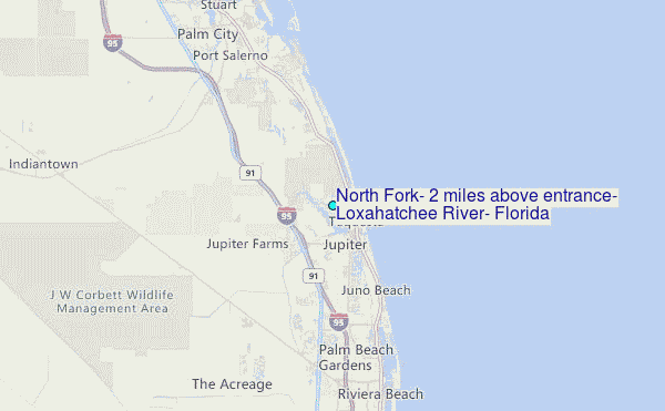
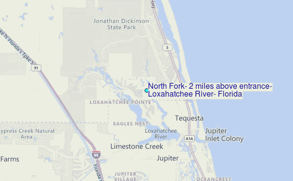
Choose North Fork, 2 miles above entrance, Loxahatchee River, Florida Location Map Zoom:
| Contours: | Roads & Rivers: | Select a
tide station / surf break / city |
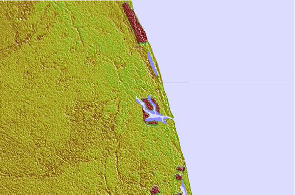
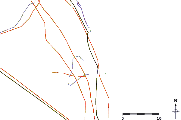
Use this relief map to navigate to tide stations, surf breaks and cities that are in the area of North Fork, 2 miles above entrance, Loxahatchee River, Florida.
Other Nearby Locations' tide tables and tide charts to North Fork, 2 miles above entrance, Loxahatchee River, Florida:
click location name for more details
 Surf breaks close to North Fork, 2 miles above entrance, Loxahatchee River, Florida:
|
||
|---|---|---|
| Closest surf break | Coral Cove | 2 mi |
| Second closest surf break | Jupiter Inlet North Jetty | 3 mi |
| Third closest surf break | Jupiter Inlet North South Side | 4 mi |
| Fourth closest surf break | Jupiter Inlet South Jetty | 4 mi |
| Fifth closest surf break | Juno Pier | 7 mi |

 Nearest
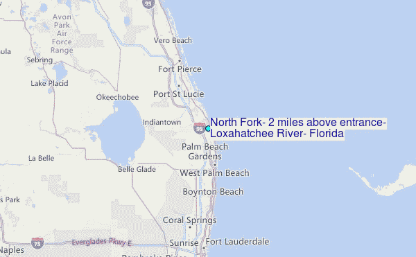