
| Distance / Altitude | Location | Report Date / Time | Live Weather | Wind | Gusts | Temp. | Visibility | Cloud |
|---|---|---|---|---|---|---|---|---|
| 59 km S / 8 m | Port Hedland Airport (Australia) | 2024-04-29 07:00 local (2024/04/28 23:00 GMT) | no report | light winds from the SSE (15 km/h at 160) | 22°C | - | - no observation - | |
| 60 km S / 218 m | Port Hedland International Airport (Australia) | 2024-04-29 06:30 local (2024/04/28 22:30 GMT) | Dry and partly cloudy | light winds from the SSE (15 km/h at 160) | 21°C | no cloud | ||
| 167 km SSE / 183 m | Marble Bar (Australia) | 2024-04-29 07:00 local (2024/04/28 23:00 GMT) | no report | calm (4 km/h at 150) | 21°C | - | - no observation - | |
| 205 km E / 78 m | Mandora (Australia) | 2024-04-29 07:00 local (2024/04/28 23:00 GMT) | - | light winds from the SE (11 km/h at 130) | 23°C | - | no observation | |
| 205 km SW / 11 m | RoebourneAero (Australia) | 2024-04-29 06:00 local (2024/04/28 22:00 GMT) | No report | light winds from the WSW (7 km/h at 240) | 25°C | - | - no observation - |
| Contours: | Roads & Rivers: | Select a
tide station / surf break / city |
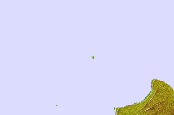

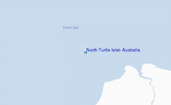
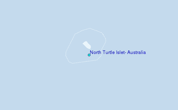
Use this relief map to navigate to tide stations, surf breaks and cities that are in the area of North Turtle Islet, Australia.
Other Nearby Locations' tide tables and tide charts to North Turtle Islet, Australia:
click location name for more details
 Surf breaks close to North Turtle Islet, Australia:
|
||
|---|---|---|
| Closest surf break | Gantheaume Point (Broome) | 253 mi |
| Second closest surf break | Cable Beach (Broome) | 257 mi |
| Third closest surf break | Dunes | 334 mi |
| Fourth closest surf break | Lighthouse Bombie | 344 mi |
| Fifth closest surf break | Gnaraloo | 435 mi |

 Nearest