
| Distance / Altitude | Location | Report Date / Time | Live Weather | Wind | Gusts | Temp. | Visibility | Cloud |
|---|---|---|---|---|---|---|---|---|
| 54 km NE / 214 m | Learmouth Airport (Australia) | 2024-05-03 19:30 local (2024/05/03 11:30 GMT) | Dry and partly cloudy | light winds from the SSW (11 km/h at 200) | 24°C | 10.0 | no cloud | |
| 55 km NE / 6 m | LearmonthAirport (Australia) | 2024-05-03 19:00 local (2024/05/03 11:00 GMT) | Clear skies | light winds from the NNE (11 km/h at 20) | 28°C | - | - no observation - | |
| 177 km NE / 4 m | Onslow Airport (Australia) | 2024-05-03 20:00 local (2024/05/03 12:00 GMT) | no report | light winds from the WNW (9 km/h at 300) | 24°C | - | - no observation - | |
| 177 km NE / 239 m | Onslow Airport (Australia) | 2024-05-03 19:00 local (2024/05/03 11:00 GMT) | - | light winds from the WNW (9 km/h at 300) | 25°C | - | no observation | |
| 183 km NE / 6 m | ThevenardIsland (Australia) | 2024-05-03 19:00 local (2024/05/03 11:00 GMT) | no report | light winds from the WNW (11 km/h at 290) | 25°C | - | - no observation - |
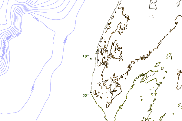
| Contours: | Roads & Rivers: | Select a
tide station / surf break / city |
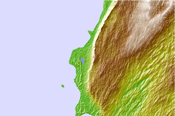
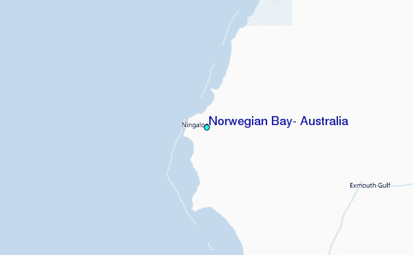
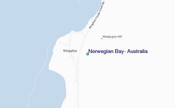
Use this relief map to navigate to tide stations, surf breaks and cities that are in the area of Norwegian Bay, Australia.
Other Nearby Locations' tide tables and tide charts to Norwegian Bay, Australia:
click location name for more details
 Surf breaks close to Norwegian Bay, Australia:
|
||
|---|---|---|
| Closest surf break | Lighthouse Bombie | 52 mi |
| Second closest surf break | Dunes | 60 mi |
| Third closest surf break | Gnaraloo | 83 mi |
| Fourth closest surf break | Turtles | 98 mi |
| Fifth closest surf break | Red Bluff | 103 mi |

 Nearest
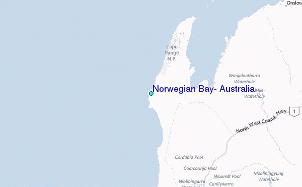