
| Distance / Altitude | Location | Report Date / Time | Live Weather | Wind | Gusts | Temp. | Visibility | Cloud |
|---|---|---|---|---|---|---|---|---|
| 17 km N / 4 m | Nouakchott/Oumto Airport (Mauritania) | 2024-04-27 20:30 local (2024/04/27 20:30 GMT) | Dry and partly cloudy | light winds from the NNW (15 km/h at 330) | 25°C | 8.0 | no significant cloud - - | |
| 200 km SSE / 7 m | Podor Airport (Senegal) | 2024-04-27 21:00 local (2024/04/27 21:00 GMT) | Dry and partly cloudy | light winds from the NE (7 km/h at 40) | 35°C | 6.0 | no significant cloud | |
| 239 km S / 116 m | Saint Louis (Senegal) | 2024-04-27 20:00 local (2024/04/27 20:00 GMT) | Dry and partly cloudy | light winds from the N.(Wind varies from 310 to 050 degs) (19 km/h at 360) | 27°C | 8.0 | no significant cloud few - | |
| 243 km W / 15 m | SHIP2477 (Marine) | 2024-04-27 21:00 local (2024/04/27 21:00 GMT) | - (- km/h at -) | — | - km | |||
| 326 km NW / 206 m | Nouadhibou Airport (Mauritania) | 2024-04-27 20:00 local (2024/04/27 20:00 GMT) | Dry and partly cloudy | moderate winds from the N (26 km/h at 360) | 19°C | 8.0 | no significant cloud |
| Contours: | Roads & Rivers: | Select a
tide station / surf break / city |
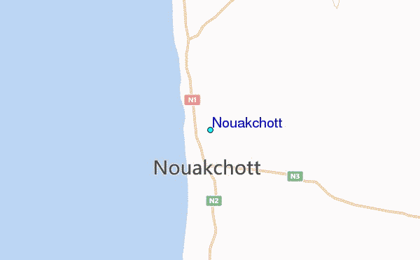
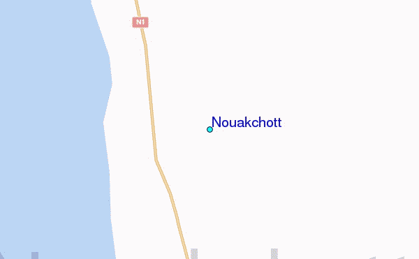
Use this relief map to navigate to tide stations, surf breaks and cities that are in the area of Nouakchott.
Other Nearby Locations' tide tables and tide charts to Nouakchott:
click location name for more details
 Surf breaks close to Nouakchott:
|
||
|---|---|---|
| Closest surf break | Le Wharf | 9 mi |
| Second closest surf break | Malika Sur Mer | 252 mi |
| Third closest surf break | Yoff Island | 254 mi |
| Fourth closest surf break | Yoff Beach | 254 mi |
| Fifth closest surf break | Le Virage | 255 mi |

 Nearest
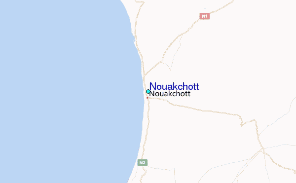