
| Distance / Altitude | Location | Report Date / Time | Live Weather | Wind | Gusts | Temp. | Visibility | Cloud |
|---|---|---|---|---|---|---|---|---|
| 12 km SSE / 200 m | Fua Amotu Tonga Airport (Tonga) | 2024-04-29 14:00 local (2024/04/29 01:00 GMT) | - | moderate winds from the E (20 km/h at 80) | 29°C | 10.0 | few | |
| 12 km SSE / 41 m | Fua amotu (Tonga) | 2024-04-29 13:00 local (2024/04/29 00:00 GMT) | no report | moderate winds from the E (22 km/h at 90) | 29°C | 20 | - - - | |
| 172 km NNE / 3 m | Haapai Lifuka (Tonga) | 2024-04-29 13:00 local (2024/04/29 00:00 GMT) | no report | moderate winds from the E (24 km/h at 90) | 29°C | 20 | - | |
| 172 km NNE / 3 m | Ha'apai Lifuka Island (Tonga) | 2024-04-29 13:00 local (2024/04/29 00:00 GMT) | no report | moderate winds from the E (24 km/h at 90) | 29°C | 20 | - | |
| 310 km NNE / 70 m | Lupepau u (Tonga) | 2024-04-29 13:00 local (2024/04/29 00:00 GMT) | rain showers | light winds from the E (19 km/h at 100) | 29°C | 20 | - |
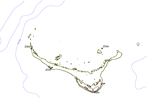
| Contours: | Roads & Rivers: | Select a
tide station / surf break / city |
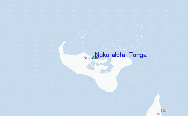
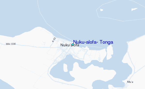
Use this relief map to navigate to tide stations, surf breaks and cities that are in the area of Nuku`alofa, Tonga.
Other Nearby Locations' tide tables and tide charts to Nuku`alofa, Tonga:
click location name for more details
 Surf breaks close to Nuku`alofa, Tonga:
|
||
|---|---|---|
| Closest surf break | Fishtraps | 9 mi |
| Second closest surf break | Lighthouse | 9 mi |
| Third closest surf break | The Bowl | 9 mi |
| Fourth closest surf break | Corners | 10 mi |
| Fifth closest surf break | The Peak | 10 mi |

 Nearest