
| Distance / Altitude | Location | Report Date / Time | Live Weather | Wind | Gusts | Temp. | Visibility | Cloud |
|---|---|---|---|---|---|---|---|---|
| 3 km W / 10 m | Jacksonville (Florida) | 2024-05-03 13:43 local (2024/05/03 17:43 GMT) | dry | wind obs. (14 kph from 249 degs) was rejected (- km/h at -) | 28°C | - | - - 0 | |
| 3 km WNW / 10 m | Isle of Palms South wx (United States) | 2024-05-03 14:05 local (2024/05/03 18:05 GMT) | dry | wind obs. (11 kph from 181 degs) was rejected (- km/h at -) | 28°C | - | - - 0 | |
| 6 km W / 39 m | Jacksonville (Florida) | 2024-05-03 13:19 local (2024/05/03 17:19 GMT) | dry | light winds from the ESE (8 km/h at 115) | 28°C | - | - - 0 | |
| 7 km NNE / 6 m | Neptune Beach wx (United States) | 2024-05-03 13:41 local (2024/05/03 17:41 GMT) | dry | calm (0 km/h at 88) | 31°C | - | - - 0 | |
| 7 km NNE / 6 m | Neptune Beach wx (United States) | 2024-05-03 13:49 local (2024/05/03 17:49 GMT) | dry | light winds from the SE (10 km/h at 124) | 26°C | - | - - 0 |
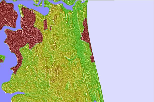
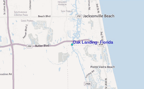
| Contours: | Roads & Rivers: | Select a
tide station / surf break / city |

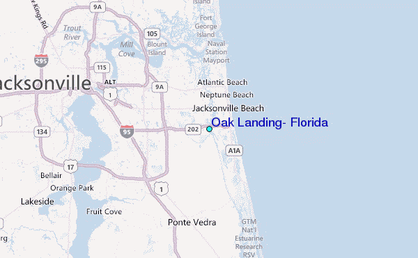
Use this relief map to navigate to tide stations, surf breaks and cities that are in the area of Oak Landing, Florida.
Other Nearby Locations' tide tables and tide charts to Oak Landing, Florida:
click location name for more details
 Surf breaks close to Oak Landing, Florida:
|
||
|---|---|---|
| Closest surf break | Fluidgroove Reef | 3 mi |
| Second closest surf break | Ponte Vedra | 3 mi |
| Third closest surf break | 7th Avenue | 4 mi |
| Fourth closest surf break | Jax Beach Pier | 5 mi |
| Fifth closest surf break | Crossroads | 7 mi |

 Nearest
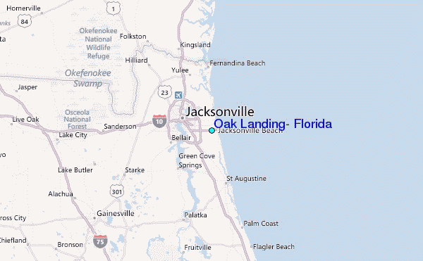