
| Distance / Altitude | Location | Report Date / Time | Live Weather | Wind | Gusts | Temp. | Visibility | Cloud |
|---|---|---|---|---|---|---|---|---|
| 45 km SSE / 211 m | Akureyri Airport (Iceland) | 2024-04-27 09:00 local (2024/04/27 09:00 GMT) | Dry and partly cloudy | light winds from the NW (15 km/h at 320) | 1°C | 10.0 | scattered broken | |
| 57 km NNE / 17 m | Grimsey (Iceland) | 2024-04-27 08:00 local (2024/04/27 08:00 GMT) | no report | light winds from the ENE (19 km/h at 60) | 2°C | - | - | |
| 57 km NNE / 17 m | Grimsey Island Airport (Iceland) | 2024-04-27 09:00 local (2024/04/27 09:00 GMT) | no report | light winds from the ENE (19 km/h at 60) | 2°C | - | - no observation - | |
| 114 km ESE / 386 m | Grimsstadir (Iceland) | 2024-04-27 08:00 local (2024/04/27 08:00 GMT) | light snow showers | - (- km/h at -) | 0°C | 2000 | - | |
| 118 km ENE / 10 m | Raufarhofn (Iceland) | 2024-04-27 09:00 local (2024/04/27 09:00 GMT) | - | light winds from the NNE (17 km/h at 30) | 2°C | - | no observation |
| Contours: | Roads & Rivers: | Select a
tide station / surf break / city |
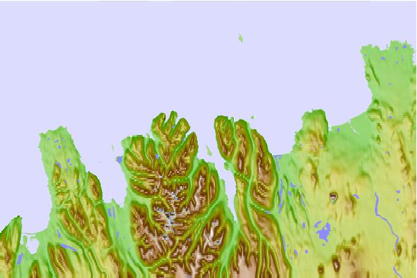
Use this relief map to navigate to tide stations, surf breaks and cities that are in the area of Ólafsfjörður, Iceland.
Other Nearby Locations' tide tables and tide charts to Olafsfjorour, Iceland:
click location name for more details
 Surf breaks close to Olafsfjorour, Iceland:
|
||
|---|---|---|
| Closest surf break | Eyvik | 30 mi |
| Second closest surf break | Grotta | 167 mi |
| Third closest surf break | Hafnarfjordur | 173 mi |
| Fourth closest surf break | Þorlákshöfn or Porlackshofn | 175 mi |
| Fifth closest surf break | Garur | 185 mi |

 Nearest