
| Distance / Altitude | Location | Report Date / Time | Live Weather | Wind | Gusts | Temp. | Visibility | Cloud |
|---|---|---|---|---|---|---|---|---|
| 1 km SSE / 3 m | BUOY-SAXG1 (Marine) | 2024-05-02 11:00 local (2024/05/02 15:00 GMT) | light winds from the ESE (13 km/h at 110) | 27°C | - | |||
| 25 km SSW / 217 m | Brunswick Golden Isles Airport (Georgia) | 2024-05-02 10:35 local (2024/05/02 14:35 GMT) | Clear | light winds from the ESE (9 km/h at 110) | 28°C | 16 | ||
| 32 km S / 218 m | Brunswick Airport (Georgia) | 2024-05-02 10:35 local (2024/05/02 14:35 GMT) | Clear | light winds from the ESE (13 km/h at 110) | 26°C | 16 | ||
| 39 km E / - m | SHIP4585 (ocean) | 2024-05-02 09:00 local (2024/05/02 13:00 GMT) | - | light winds from the ENE (7 km/h at 60) | 23°C | - | no observation | |
| 39 km E / - m | SHIP5378 (ocean) | 2024-05-02 10:00 local (2024/05/02 14:00 GMT) | - | light winds from the ENE (11 km/h at 70) | 23°C | - | no observation |
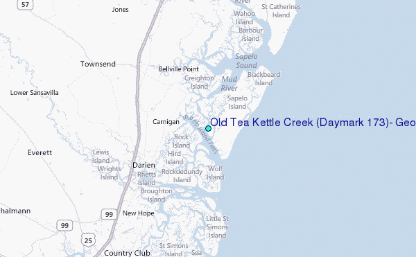
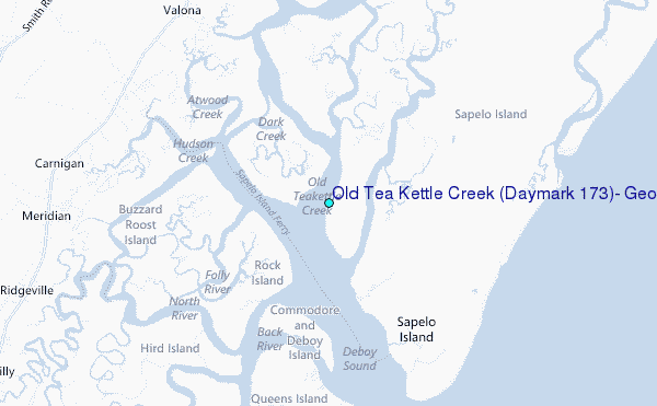
Choose Old Tea Kettle Creek (Daymark #173), Georgia Location Map Zoom:
| Contours: | Roads & Rivers: | Select a
tide station / surf break / city |
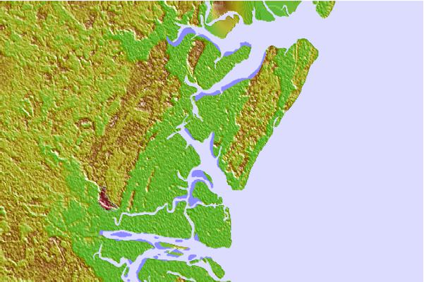

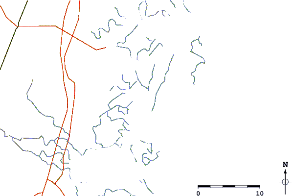
Use this relief map to navigate to tide stations, surf breaks and cities that are in the area of Old Tea Kettle Creek (Daymark #173), Georgia.
Other Nearby Locations' tide tables and tide charts to Old Tea Kettle Creek (Daymark #173), Georgia:
click location name for more details
 Surf breaks close to Old Tea Kettle Creek (Daymark #173), Georgia:
|
||
|---|---|---|
| Closest surf break | Sea Island | 18 mi |
| Second closest surf break | Goulds Inlet | 19 mi |
| Third closest surf break | St Simons Island | 21 mi |
| Fourth closest surf break | Coastguard/St Simons | 21 mi |
| Fifth closest surf break | 5th and 7th Streets | 24 mi |

 Nearest
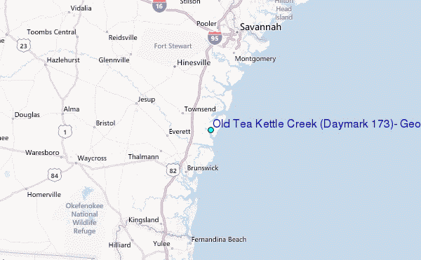