
| Distance / Altitude | Location | Report Date / Time | Live Weather | Wind | Gusts | Temp. | Visibility | Cloud |
|---|---|---|---|---|---|---|---|---|
| 62 km SW / 14 m | Pahou wx (New Zealand) | 2024-05-03 14:13 local (2024/05/03 02:13 GMT) | dry | calm (5 km/h at 317) | 18°C | - | - - 0 | |
| 62 km SW / 3 m | Whakatane (New Zealand) | 2024-05-03 14:30 local (2024/05/03 02:30 GMT) | Dry | light winds from the N (7 km/h at 0) | 18°C | - | - - - | |
| 63 km ENE / 50 m | Hicks Bay Automatic Weather Station (New Zealand) | 2024-05-03 14:00 local (2024/05/03 02:00 GMT) | no report | light winds from the NNW (15 km/h at 330) | 17°C | - | - no observation - | |
| 66 km SW / 7 m | WhakataneAeroAws (New Zealand) | 2024-05-03 14:00 local (2024/05/03 02:00 GMT) | no report | light winds from the NW (13 km/h at 310) | 17°C | 10 | - no observation - | |
| 66 km S / 726 m | Traffords Hill, Matawai Automatic Weather Station (New Zealand) | 2024-05-03 14:40 local (2024/05/03 02:40 GMT) | Dry | light winds from the SE (7 km/h at 135) | 11°C | - | - - - |
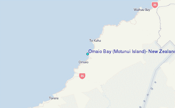
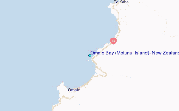
Choose Omaio Bay (Motunui Island), New Zealand Location Map Zoom:
| Contours: | Roads & Rivers: | Select a
tide station / surf break / city |
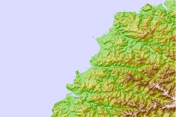
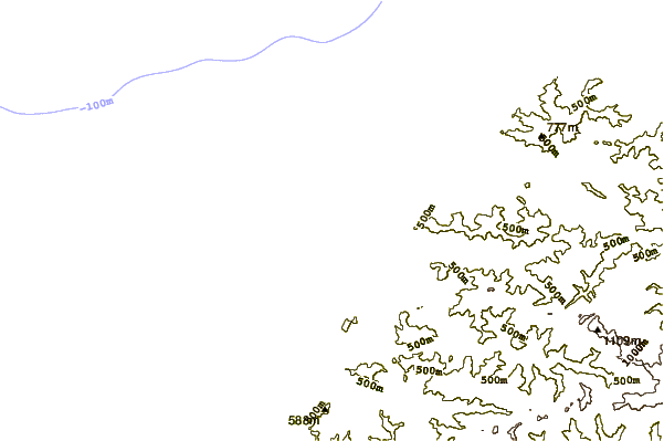
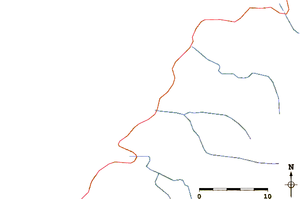
Use this relief map to navigate to tide stations, surf breaks and cities that are in the area of Omaio Bay (Motunui Island), New Zealand.
Other Nearby Locations' tide tables and tide charts to Omaio Bay (Motunui Island), New Zealand:
click location name for more details
 Surf breaks close to Omaio Bay (Motunui Island), New Zealand:
|
||
|---|---|---|
| Closest surf break | Motu River | 6 mi |
| Second closest surf break | Maraenui | 10 mi |
| Third closest surf break | Hawai River | 11 mi |
| Fourth closest surf break | Papatea Bay | 14 mi |
| Fifth closest surf break | Torere Beach | 14 mi |

 Nearest
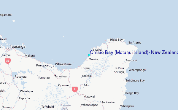