
| Distance / Altitude | Location | Report Date / Time | Live Weather | Wind | Gusts | Temp. | Visibility | Cloud |
|---|---|---|---|---|---|---|---|---|
| 6 km SE / 15 m | Tongue Point AWS (New Zealand) | 2024-04-29 02:40 local (2024/04/28 14:40 GMT) | No weather report | light winds from the NE (11 km/h at 45) | — | - | - - - | |
| 11 km E / 209 m | Eastern Karori (New Zealand) | 2024-04-29 02:29 local (2024/04/28 14:29 GMT) | Dry | calm (4 km/h at 45) | 11°C | - | - - - | |
| 12 km ENE / 131 m | Wilton wx (New Zealand) | 2024-04-29 02:14 local (2024/04/28 14:14 GMT) | dry | calm (0 km/h at ) | 10°C | - | - - 0 | |
| 14 km E / 9 m | Wellington (New Zealand) | 2024-04-29 02:30 local (2024/04/28 14:30 GMT) | Dry | calm (0 km/h at 135) | 12°C | - | - - - | |
| 14 km ENE / 66 m | Wellington (New Zealand) | 2024-04-29 02:49 local (2024/04/28 14:49 GMT) | dry | calm (0 km/h at ) | 6°C | - | - - 0 |
| Contours: | Roads & Rivers: | Select a
tide station / surf break / city |
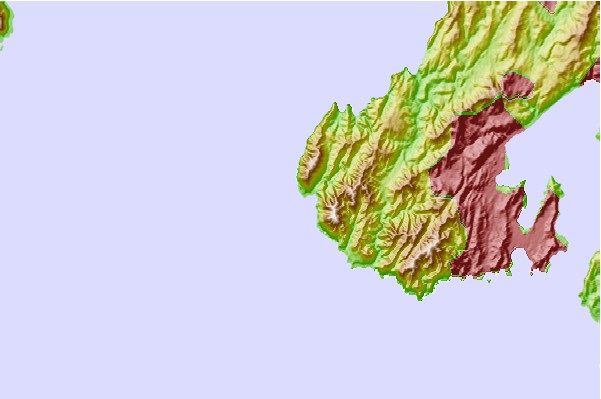
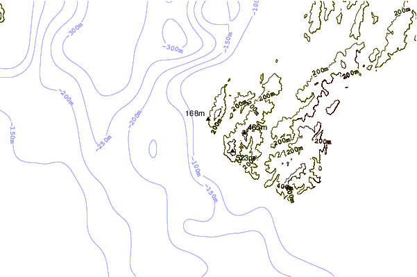
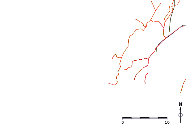
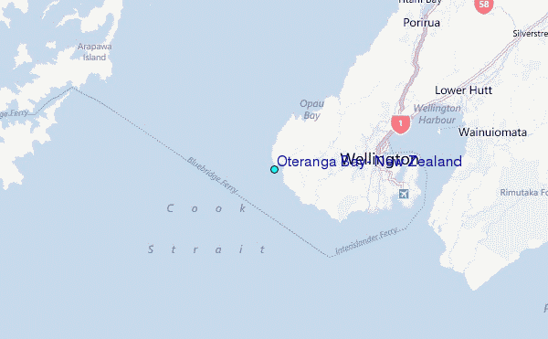
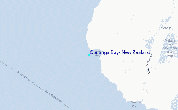
Use this relief map to navigate to tide stations, surf breaks and cities that are in the area of Oteranga Bay, New Zealand.
Other Nearby Locations' tide tables and tide charts to Oteranga Bay, New Zealand:
click location name for more details
 Surf breaks close to Oteranga Bay, New Zealand:
|
||
|---|---|---|
| Closest surf break | Te Ikaamaru Bay | 4 mi |
| Second closest surf break | Makara | 5 mi |
| Third closest surf break | The Island (Island Bay) | 9 mi |
| Fourth closest surf break | Houghton Bay | 9 mi |
| Fifth closest surf break | Airport Rights | 10 mi |

 Nearest