
| Distance / Altitude | Location | Report Date / Time | Live Weather | Wind | Gusts | Temp. | Visibility | Cloud |
|---|---|---|---|---|---|---|---|---|
| 70 km SE / 2 m | Juanda Airport (Indonesia) | 2024-04-28 18:30 local (2024/04/28 11:30 GMT) | - | light winds from the ESE.(Wind varies from 020 to 250 degs) (17 km/h at 110) | 30°C | 8.0 | few | |
| 221 km WSW / 5 m | Ahmad Yani International Airport (Indonesia) | 2024-04-28 18:30 local (2024/04/28 11:30 GMT) | Dry and partly cloudy | light winds from the ESE (6 km/h at 110) | 30°C | 7.0 | scattered | |
| 370 km SE / 216 m | Bali International Airport (Indonesia) | 2024-04-28 18:30 local (2024/04/28 11:30 GMT) | - | light winds from the SE (19 km/h at 130) | 29°C | 10.0 | few | |
| 462 km NE / 20 m | Syamsudin Noor International Airport (Indonesia) | 2024-04-28 18:30 local (2024/04/28 11:30 GMT) | Moderate rain | light winds from the SSW (7 km/h at 200) | 30°C | 5.0 | scattered | |
| 478 km ESE / 97 m | Bandara Airport (Indonesia) | 2024-04-28 18:30 local (2024/04/28 11:30 GMT) | - | light winds from the SE (7 km/h at 130) | 28°C | 8.0 | few |
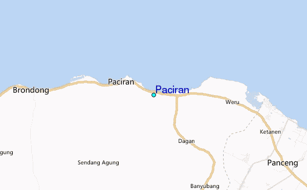
| Contours: | Roads & Rivers: | Select a
tide station / surf break / city |
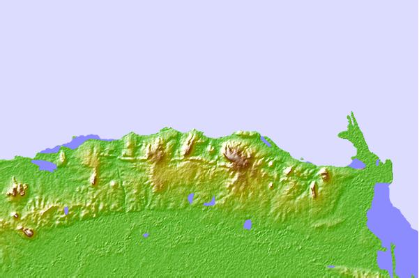
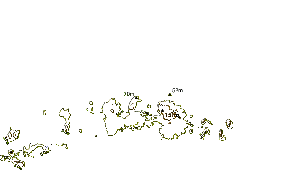
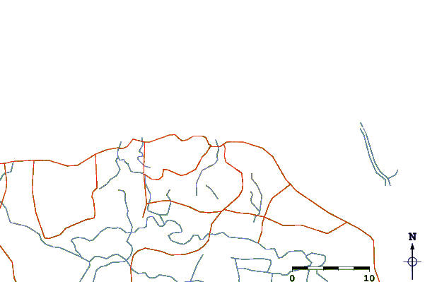
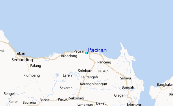
Use this relief map to navigate to tide stations, surf breaks and cities that are in the area of Paciran.
Other Nearby Locations' tide tables and tide charts to Paciran:
click location name for more details
 Surf breaks close to Paciran:
|
||
|---|---|---|
| Closest surf break | Grajagan Bay/G-Land | 186 mi |
| Second closest surf break | Tanjung Kucur | 189 mi |
| Third closest surf break | Medewi | 199 mi |
| Fourth closest surf break | Balian | 210 mi |
| Fifth closest surf break | Pererenan | 226 mi |

 Nearest
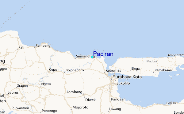