
| Distance / Altitude | Location | Report Date / Time | Live Weather | Wind | Gusts | Temp. | Visibility | Cloud |
|---|---|---|---|---|---|---|---|---|
| 134 km W / 6 m | Laiya (Philippines) | 2024-05-02 00:14 local (2024/05/01 16:14 GMT) | dry | - (- km/h at ) | — | - | - - 0 | |
| 138 km WNW / 216 m | Tayabas (Philippines) | 2024-05-01 23:00 local (2024/05/01 15:00 GMT) | no report | - (- km/h at -) | 26°C | 8 | - | |
| 150 km SE / 210 m | Macatan Airport (Philippines) | 2024-05-02 00:00 local (2024/05/01 16:00 GMT) | no report | light winds from the ENE (11 km/h at 60) | 28°C | 10 | few - - | |
| 151 km SE / 35 m | Masbate (Philippines) | 2024-05-02 00:00 local (2024/05/01 16:00 GMT) | no report | calm (4 km/h at 70) | 29°C | 15 | - | |
| 187 km S / 80 m | Dalipdip wx (Philippines) | 2024-05-02 00:14 local (2024/05/01 16:14 GMT) | dry | calm (2 km/h at 135) | 28°C | - | - - 0 |
| Contours: | Roads & Rivers: | Select a
tide station / surf break / city |
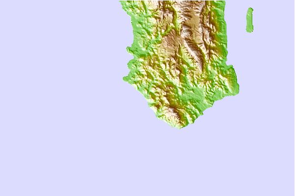
Use this relief map to navigate to tide stations, surf breaks and cities that are in the area of Pagsangahan.
Other Nearby Locations' tide tables and tide charts to Pagsangahan:
click location name for more details
 Surf breaks close to Pagsangahan:
|
||
|---|---|---|
| Closest surf break | Bagasbas Beach | 70 mi |
| Second closest surf break | Virac Harbour | 115 mi |
| Third closest surf break | Moning | 127 mi |
| Fourth closest surf break | Majestics | 129 mi |
| Fifth closest surf break | Point B | 129 mi |

 Nearest