
| Distance / Altitude | Location | Report Date / Time | Live Weather | Wind | Gusts | Temp. | Visibility | Cloud |
|---|---|---|---|---|---|---|---|---|
| 6 km SW / 218 m | West Palm Beach Airport (Florida) | 2024-04-29 08:53 local (2024/04/29 12:53 GMT) | Dry and partly cloudy | moderate winds from the ESE (28 km/h at 110) | 26°C | 16 | scattered broken | |
| 8 km S / 4 m | Palm Beach (Florida) | 2024-04-29 09:47 local (2024/04/29 13:47 GMT) | dry | moderate winds from the ESE (21 km/h at 112) | 24°C | - | - - 0 | |
| 11 km S / 3 m | BUOY-LKWF1 (Marine) | 2024-04-29 10:00 local (2024/04/29 14:00 GMT) | fresh winds from the E (33 km/h at 100) | 24°C | - | |||
| 12 km WSW / 5 m | West Palm Beach (Florida) | 2024-04-29 10:01 local (2024/04/29 14:01 GMT) | dry | light winds from the E (14 km/h at 94) | 28°C | - | - - 0 | |
| 12 km S / 5 m | West Palm Beach (FL) (Florida) | 2024-04-29 09:35 local (2024/04/29 13:35 GMT) | Dry and cloudy | moderate winds from the E (26 km/h at 90) | 26°C | 16 | scattered broken overcast |
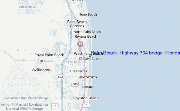
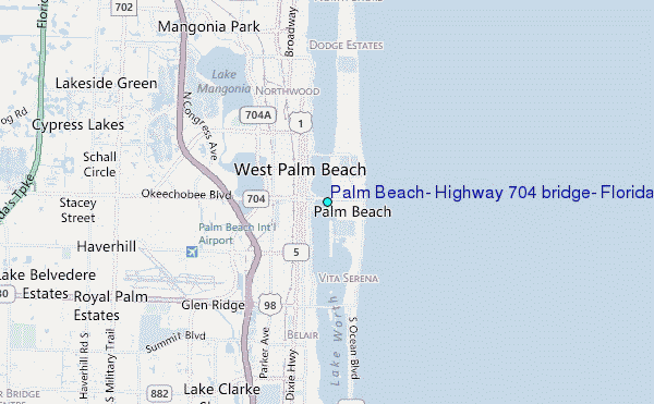
Choose Palm Beach, Highway 704 bridge, Florida Location Map Zoom:
| Contours: | Roads & Rivers: | Select a
tide station / surf break / city |
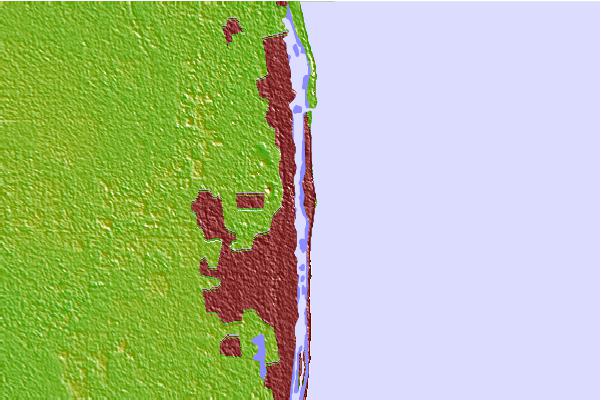
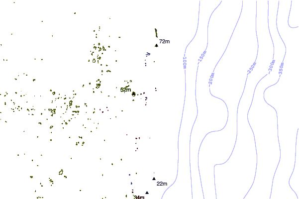
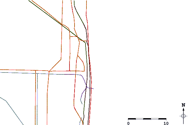
Use this relief map to navigate to tide stations, surf breaks and cities that are in the area of Palm Beach, Highway 704 bridge, Florida.
Other Nearby Locations' tide tables and tide charts to Palm Beach, Highway 704 bridge, Florida:
click location name for more details
 Surf breaks close to Palm Beach, Highway 704 bridge, Florida:
|
||
|---|---|---|
| Closest surf break | Palm Beach Jetties | 1 mi |
| Second closest surf break | Flagpoles | 1 mi |
| Third closest surf break | The Cove | 1 mi |
| Fourth closest surf break | Reef Road | 4 mi |
| Fifth closest surf break | Lake Worth Pier | 6 mi |

 Nearest
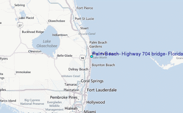