
| Distance / Altitude | Location | Report Date / Time | Live Weather | Wind | Gusts | Temp. | Visibility | Cloud |
|---|---|---|---|---|---|---|---|---|
| 21 km S / 293 m | Davao/Francisco Bangoy International Airport (Philippines) | 2024-04-30 11:00 local (2024/04/30 03:00 GMT) | Light rain | light winds from the S (13 km/h at 190) | 28°C | 9.0 | scattered overcast broken | |
| 115 km WNW / 892 m | Malaybalay (Philippines) | 2024-04-30 11:00 local (2024/04/30 03:00 GMT) | Clouds developing | wind obs. (7 kph from 200 degs) was rejected (- km/h at -) | 31°C | 40 km | mostly cloudy | |
| 116 km WSW / 48 m | DavaoAirport (Philippines) | 2024-04-30 11:00 local (2024/04/30 03:00 GMT) | Intermittent light rain | light winds from the S (14 km/h at 190) | 28°C | 29 km | overcast | |
| 144 km S / 15 m | General Santos International Airport (Paliparang Pandaigdig ng Heneral Santos) (Philippines) | 2024-04-30 11:00 local (2024/04/30 03:00 GMT) | Continuous light rain | calm (4 km/h at 160) | 25°C | 28 km | - overcast - | |
| 163 km WSW / 53 m | Cotabato-Mindanao (Philippines) | 2024-04-30 11:00 local (2024/04/30 03:00 GMT) | Light rain showers | light winds from the S (11 km/h at 180) | 30°C | 32 km | - overcast - |
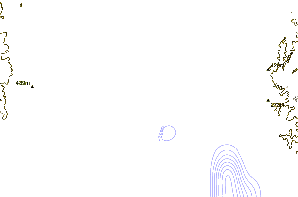
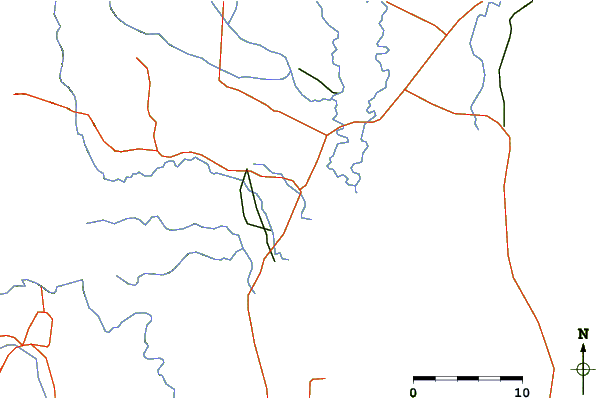
| Contours: | Roads & Rivers: | Select a
tide station / surf break / city |
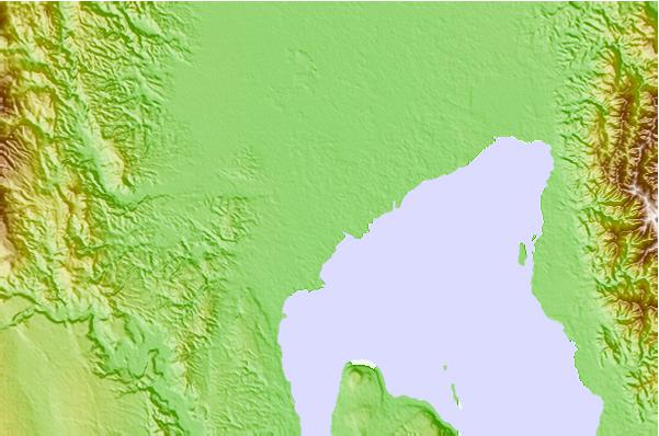
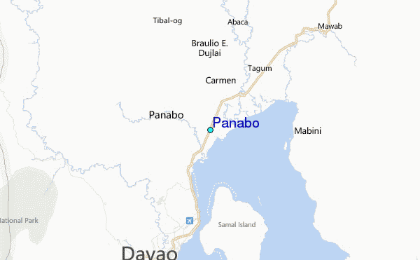
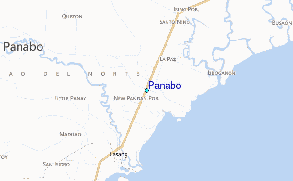
Use this relief map to navigate to tide stations, surf breaks and cities that are in the area of Panabo.
Other Nearby Locations' tide tables and tide charts to Panabo:
click location name for more details
 Surf breaks close to Panabo:
|
||
|---|---|---|
| Closest surf break | Tago River | 124 mi |
| Second closest surf break | Marami Beach | 128 mi |
| Third closest surf break | Lanuza Rivermouth | 135 mi |
| Fourth closest surf break | Big Star | 137 mi |
| Fifth closest surf break | Moshi-Moshi | 139 mi |

 Nearest
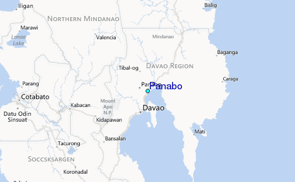