
| Distance / Altitude | Location | Report Date / Time | Live Weather | Wind | Gusts | Temp. | Visibility | Cloud |
|---|---|---|---|---|---|---|---|---|
| 47 km NW / 15 m | General Santos International Airport (Paliparang Pandaigdig ng Heneral Santos) (Philippines) | 2024-05-02 20:00 local (2024/05/02 12:00 GMT) | haze | light winds from the ESE (7 km/h at 120) | 33°C | 20 | - | |
| 163 km NNE / 293 m | Davao/Francisco Bangoy International Airport (Philippines) | 2024-05-02 19:00 local (2024/05/02 11:00 GMT) | Dry and partly cloudy | light winds from the W (11 km/h at 260) | 30°C | 10.0 | scattered broken broken | |
| 172 km NW / 48 m | Davao Airport (Philippines) | 2024-05-02 20:00 local (2024/05/02 12:00 GMT) | no report | light winds from the WSW (7 km/h at 240) | 33°C | 15 | - | |
| 379 km W / 417 m | Zamboanga Airport (Philippines) | 2024-05-02 20:00 local (2024/05/02 12:00 GMT) | Dry and partly cloudy | light winds from the W (13 km/h at 270) | 28°C | 10.0 | few scattered - | |
| 427 km SSE / 15 m | SHIP11792 (Marine) | 2024-05-02 19:00 local (2024/05/02 11:00 GMT) | moderate winds from the E (22.32 km/h at 90) | 30°C | 8.1 km |
| Contours: | Roads & Rivers: | Select a
tide station / surf break / city |
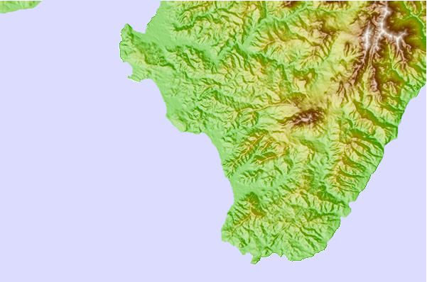
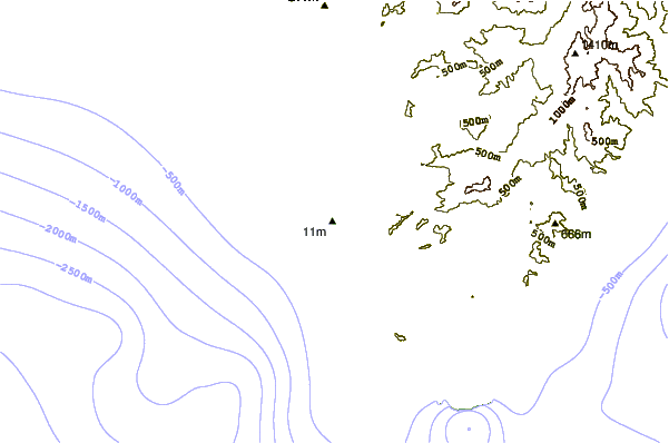
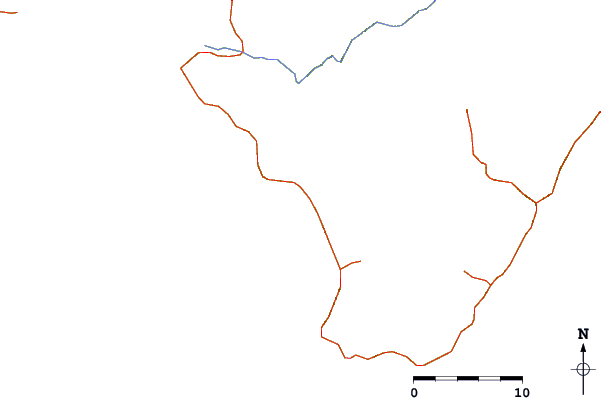
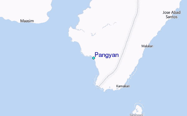
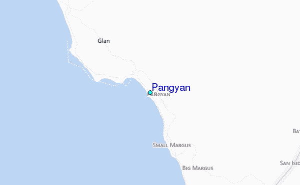
Use this relief map to navigate to tide stations, surf breaks and cities that are in the area of Pangyan.
Other Nearby Locations' tide tables and tide charts to Pangyan:
click location name for more details
 Surf breaks close to Pangyan:
|
||
|---|---|---|
| Closest surf break | Tago River | 238 mi |
| Second closest surf break | Marami Beach | 242 mi |
| Third closest surf break | Lanuza Rivermouth | 250 mi |
| Fourth closest surf break | Big Star | 252 mi |
| Fifth closest surf break | Moshi-Moshi | 253 mi |

 Nearest
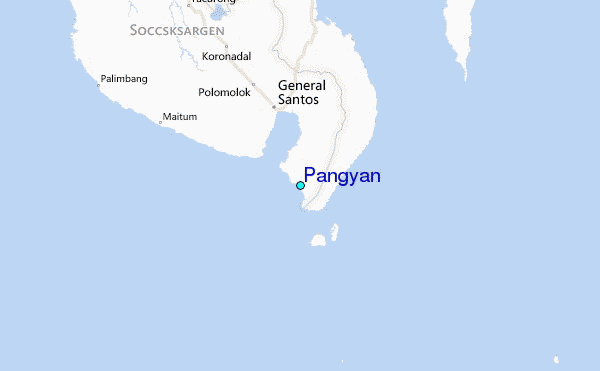