
| Distance / Altitude | Location | Report Date / Time | Live Weather | Wind | Gusts | Temp. | Visibility | Cloud |
|---|---|---|---|---|---|---|---|---|
| 67 km N / 4 m | Daet (Philippines) | 2024-05-07 07:00 local (2024/05/06 23:00 GMT) | no report | calm (4 km/h at 270) | 27°C | 10 | - | |
| 122 km SSW / 47 m | Romblon (Philippines) | 2024-05-07 07:00 local (2024/05/06 23:00 GMT) | no report | wind obs. (7 kph from 90 degs) was rejected (- km/h at -) | 26°C | 15 | - | |
| 129 km E / 40 m | Virac (Philippines) | 2024-05-07 07:00 local (2024/05/06 23:00 GMT) | no report | light winds from the NW (7 km/h at 320) | 25°C | 10 | - scattered - | |
| 134 km SSW / 47 m | Romblon Airport (Tablas Island) (Philippines) | 2024-05-07 08:00 local (2024/05/07 00:00 GMT) | - | light winds from the NE.(Wind varies from 020 to 090 degs) (6 km/h at 50) | 28°C | 10.0 | few | |
| 141 km SSE / 210 m | Macatan Airport (Philippines) | 2024-05-07 07:00 local (2024/05/06 23:00 GMT) | no report | light winds from the E (7 km/h at 80) | 29°C | 10 | few - - |
| Contours: | Roads & Rivers: | Select a
tide station / surf break / city |
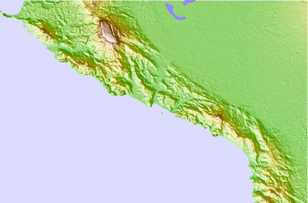
Use this relief map to navigate to tide stations, surf breaks and cities that are in the area of Pasacao.
Other Nearby Locations' tide tables and tide charts to Pasacao:
click location name for more details
 Surf breaks close to Pasacao:
|
||
|---|---|---|
| Closest surf break | Bagasbas Beach | 44 mi |
| Second closest surf break | Virac Harbour | 79 mi |
| Third closest surf break | Moning | 91 mi |
| Fourth closest surf break | Majestics | 91 mi |
| Fifth closest surf break | Point B | 92 mi |

 Nearest