
| Distance / Altitude | Location | Report Date / Time | Live Weather | Wind | Gusts | Temp. | Visibility | Cloud |
|---|---|---|---|---|---|---|---|---|
| 13 km NE / 3 m | BUOY-SAPF1 (Marine) | 2024-04-28 04:48 local (2024/04/28 08:48 GMT) | light winds from the ESE (17 km/h at 110) | 21°C | - | |||
| 14 km NE / 218 m | St Peters/Albert Whitted Airport (Florida) | 2024-04-28 03:53 local (2024/04/28 07:53 GMT) | Clear | fresh winds from the E (30 km/h at 100) | 22°C | 16 | ||
| 14 km E / 3 m | BUOY-MTBF1 (Marine) | 2024-04-28 04:48 local (2024/04/28 08:48 GMT) | moderate winds from the ESE (28 km/h at 110) | 20°C | 10.9 | |||
| 18 km ESE / 3 m | BUOY-PMAF1 (Marine) | 2024-04-28 04:48 local (2024/04/28 08:48 GMT) | - (- km/h at -) | 19°C | - | |||
| 22 km SW / 3 m | Egmont Channel Entrance- FL (Marine) | 2024-04-28 04:56 local (2024/04/28 08:56 GMT) | - (- km/h at -) | — | - |
| Contours: | Roads & Rivers: | Select a
tide station / surf break / city |
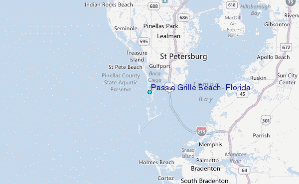
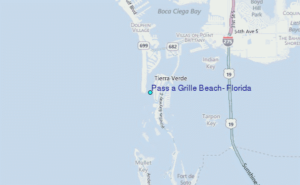
Use this relief map to navigate to tide stations, surf breaks and cities that are in the area of Pass a Grille Beach, Florida.
Other Nearby Locations' tide tables and tide charts to Pass a Grille Beach, Florida:
click location name for more details
 Surf breaks close to Pass a Grille Beach, Florida:
|
||
|---|---|---|
| Closest surf break | Upham Beach | 4 mi |
| Second closest surf break | Sunset Beach | 4 mi |
| Third closest surf break | Anna Maria Island | 10 mi |
| Fourth closest surf break | Anna Maria Key | 11 mi |
| Fifth closest surf break | Redington Breakwater | 11 mi |

 Nearest
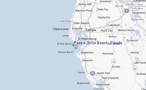