
| Distance / Altitude | Location | Report Date / Time | Live Weather | Wind | Gusts | Temp. | Visibility | Cloud |
|---|---|---|---|---|---|---|---|---|
| 22 km WSW / 3 m | BUOY-PILL1 (Marine) | 2024-04-28 19:48 local (2024/04/29 00:48 GMT) | light winds from the SSE (13 km/h at 160) | 23°C | - | |||
| 34 km SSW / 3 m | SHIP11517 (Marine) | 2024-04-28 18:00 local (2024/04/28 23:00 GMT) | - (- km/h at -) | 27°C | - | |||
| 47 km SSW / 3 m | BUOY-PSTL1 (Marine) | 2024-04-28 19:48 local (2024/04/29 00:48 GMT) | strong winds from the E (39 km/h at 100) | 17°C | - | |||
| 50 km SSW / 3 m | BUOY-BURL1 (Marine) | 2024-04-28 20:00 local (2024/04/29 01:00 GMT) | - (45 km/h at -) | — | - | |||
| 64 km SW / 3 m | BUOY-42084 (Marine) | 2024-04-28 19:30 local (2024/04/29 00:30 GMT) | - (- km/h at -) | 23°C | - |
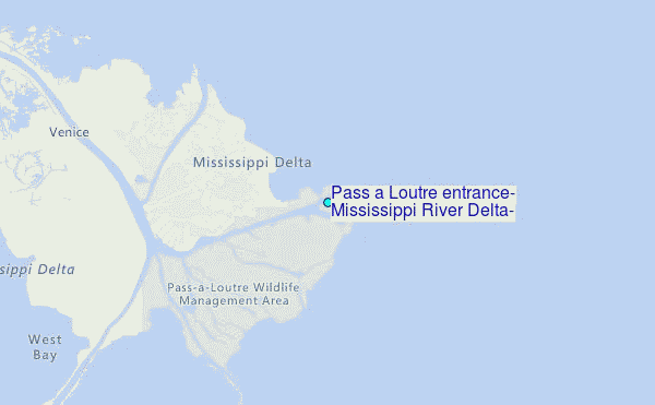
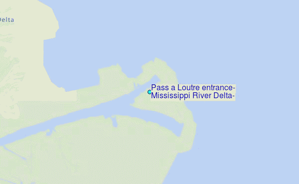
Choose Pass a Loutre entrance, Mississippi River Delta, Louisiana Location Map Zoom:
| Contours: | Roads & Rivers: | Select a
tide station / surf break / city |
Use this relief map to navigate to tide stations, surf breaks and cities that are in the area of Pass a Loutre entrance, Mississippi River Delta, Louisiana.
Other Nearby Locations' tide tables and tide charts to Pass a Loutre entrance, Mississippi River Delta, Louisiana:
click location name for more details
 Surf breaks close to Pass a Loutre entrance, Mississippi River Delta, Louisiana:
|
||
|---|---|---|
| Closest surf break | Chandeleur Islands | 47 mi |
| Second closest surf break | Dauphin Island Pier | 93 mi |
| Third closest surf break | West Pass | 106 mi |
| Fourth closest surf break | Terry s Cove | 114 mi |
| Fifth closest surf break | Alabama Point | 116 mi |

 Nearest
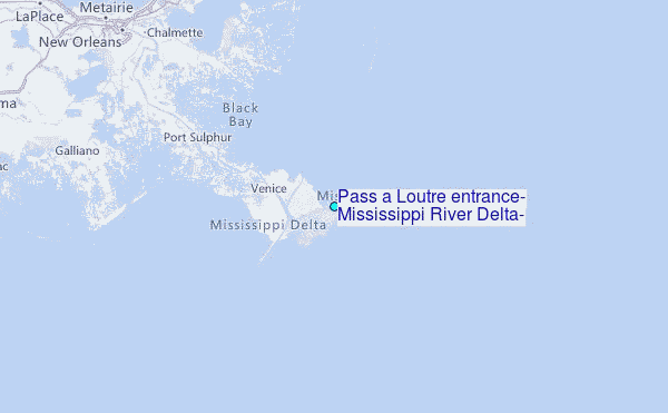