
| Distance / Altitude | Location | Report Date / Time | Live Weather | Wind | Gusts | Temp. | Visibility | Cloud |
|---|---|---|---|---|---|---|---|---|
| 121 km WSW / 26 m | Quezon City (Åland) | 2024-04-28 23:10 local (2024/04/28 15:10 GMT) | dry | calm (5 km/h at 72) | 32°C | - | - - 0 | |
| 124 km WSW / 39 m | Science Garden (Philippines) | 2024-04-28 21:00 local (2024/04/28 13:00 GMT) | haze | light winds from the S (7 km/h at 180) | 33°C | 7 | - - - | |
| 130 km SW / 26 m | Paranaque (Philippines) | 2024-04-28 22:09 local (2024/04/28 14:09 GMT) | dry | light winds from the SSE (11 km/h at 150) | 31°C | - | - - 0 | |
| 131 km SW / 217 m | Ninoy Aquino International Airport (Manila) (Philippines) | 2024-04-28 22:00 local (2024/04/28 14:00 GMT) | Dry and partly cloudy | light winds from the ESE.(Wind varies from 080 to 160 degs) (13 km/h at 120) | 32°C | 10.0 | few scattered broken | |
| 131 km SW / 18 m | Muntinlupa wx (Philippines) | 2024-04-28 21:45 local (2024/04/28 13:45 GMT) | dry | light winds from the ENE (18 km/h at 78) | 31°C | - | - - 0 |
| Contours: | Roads & Rivers: | Select a
tide station / surf break / city |
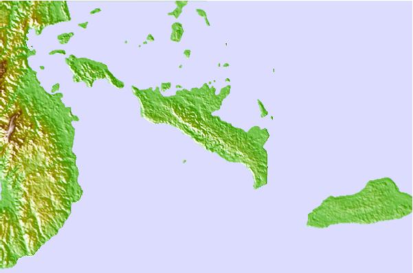
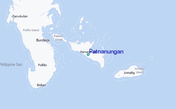
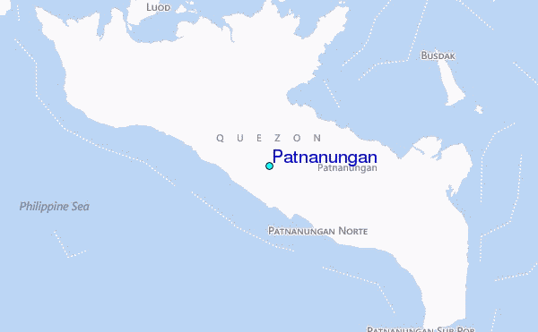
Use this relief map to navigate to tide stations, surf breaks and cities that are in the area of Patnanungan.
Other Nearby Locations' tide tables and tide charts to Patnanungan:
click location name for more details
 Surf breaks close to Patnanungan:
|
||
|---|---|---|
| Closest surf break | Bagasbas Beach | 70 mi |
| Second closest surf break | Cobra Reef - Cemento | 78 mi |
| Third closest surf break | Baler - Charlie's Point | 80 mi |
| Fourth closest surf break | Baler - Lindy's Point | 80 mi |
| Fifth closest surf break | Baler - Sabang | 80 mi |

 Nearest
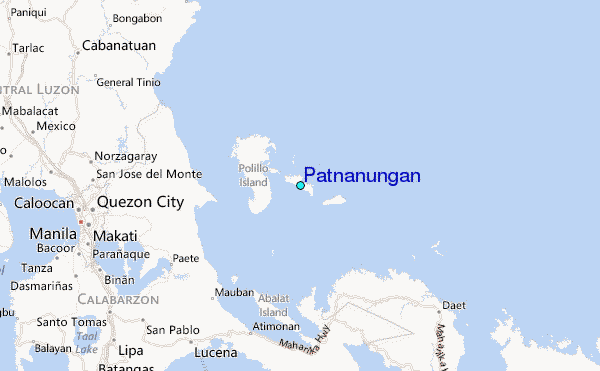