
| Distance / Altitude | Location | Report Date / Time | Live Weather | Wind | Gusts | Temp. | Visibility | Cloud |
|---|---|---|---|---|---|---|---|---|
| 38 km NNE / 6 m | Bildudalur Airport (Iceland) | 2024-04-28 13:00 local (2024/04/28 13:00 GMT) | - | light winds from the NE (19 km/h at 50) | 8°C | 10.0 | few | |
| 42 km E / 3 m | SHIP10691 (Marine) | 2024-04-28 12:00 local (2024/04/28 12:00 GMT) | - (- km/h at -) | — | - | |||
| 50 km S / 6 m | Gufuskalar (Iceland) | 2024-04-28 14:00 local (2024/04/28 14:00 GMT) | no report | moderate winds from the ENE (28 km/h at 60) | 8°C | - | - | |
| 66 km ESE / 118 m | Stykkisholmur (Iceland) | 2024-04-28 14:00 local (2024/04/28 14:00 GMT) | no report | light winds from the ENE (9 km/h at 60) | 7°C | 70 | - | |
| 87 km NNE / 538 m | Isafjorour Airport (Iceland) | 2024-04-28 13:00 local (2024/04/28 13:00 GMT) | - | light winds from the ENE (17 km/h at 70) | 6°C | 10.0 | few |
| Contours: | Roads & Rivers: | Select a
tide station / surf break / city |
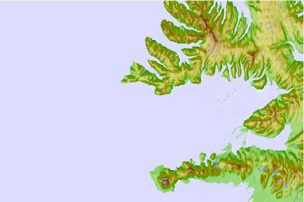
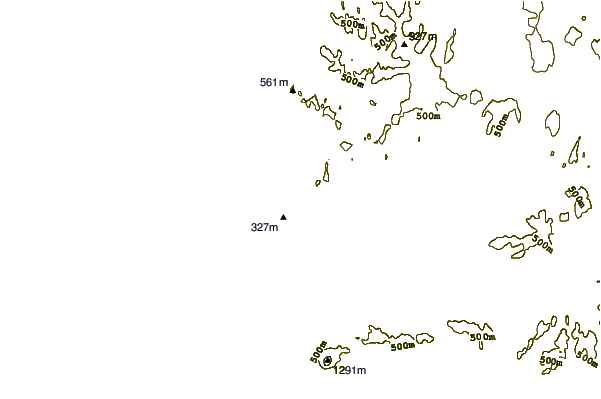
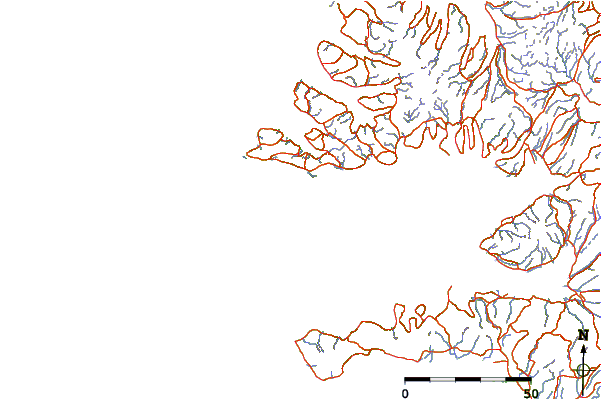
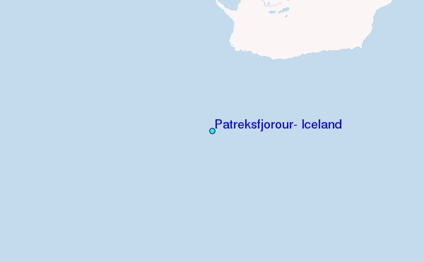
Use this relief map to navigate to tide stations, surf breaks and cities that are in the area of Patreksfjörður, Iceland.
Other Nearby Locations' tide tables and tide charts to Patreksfjorour, Iceland:
click location name for more details
 Surf breaks close to Patreksfjorour, Iceland:
|
||
|---|---|---|
| Closest surf break | Garur | 96 mi |
| Second closest surf break | Grotta | 101 mi |
| Third closest surf break | Hafnir | 105 mi |
| Fourth closest surf break | Hafnarfjordur | 107 mi |
| Fifth closest surf break | Sandvik | 114 mi |

 Nearest
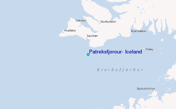