
| Distance / Altitude | Location | Report Date / Time | Live Weather | Wind | Gusts | Temp. | Visibility | Cloud |
|---|---|---|---|---|---|---|---|---|
| 71 km ENE / 360 m | Barahona Airport (Dominican Republic) | 2024-05-03 10:00 local (2024/05/03 14:00 GMT) | Dry and partly cloudy | calm (0 km/h at 0) | — | 10.0 | few scattered broken | |
| 82 km WNW / 256 m | Port-Au-prince Airport (Haiti) | 2024-05-03 11:00 local (2024/05/03 15:00 GMT) | Dry and partly cloudy | light winds from the E (13 km/h at 100) | — | 9.0 | few broken | |
| 129 km E / 10 m | Playa Punta Salinas (Dominican Republic) | 2024-05-03 11:00 local (2024/05/03 15:00 GMT) | - | light winds from the N (13 km/h at 3) | 29°C | - | - - 0 | |
| 185 km NNE / 64 m | Mao (Dominican Republic) | 2024-05-03 10:16 local (2024/05/03 14:16 GMT) | dry | calm (2 km/h at 346) | 26°C | - | - - 0 | |
| 193 km NE / 209 m | Santiago International Airport (Dominican Republic) | 2024-05-03 10:00 local (2024/05/03 14:00 GMT) | Mist - | light winds from the N (6 km/h at 1) | — | 4.0 | few scattered scattered |
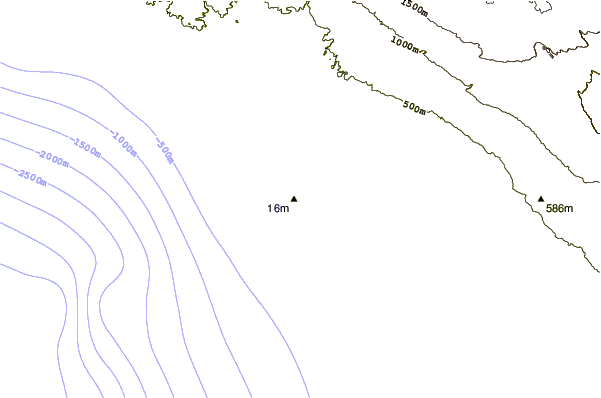
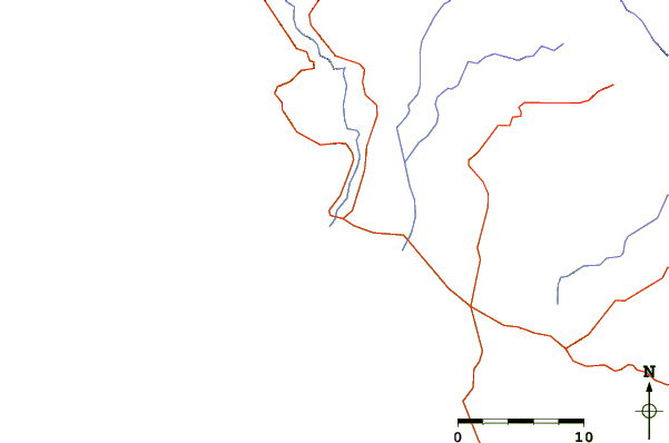
| Contours: | Roads & Rivers: | Select a
tide station / surf break / city |
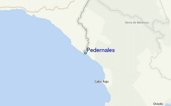
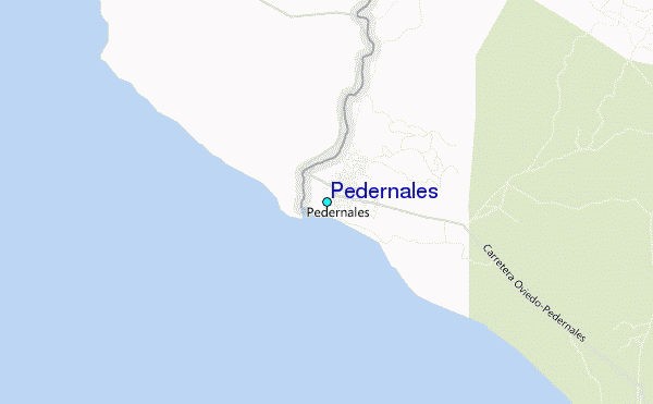
Use this relief map to navigate to tide stations, surf breaks and cities that are in the area of Pedernales.
Other Nearby Locations' tide tables and tide charts to Pedernales:
click location name for more details
 Surf breaks close to Pedernales:
|
||
|---|---|---|
| Closest surf break | Bahia de las Aguilas | 14 mi |
| Second closest surf break | Paraiso | 32 mi |
| Third closest surf break | San Rafael | 32 mi |
| Fourth closest surf break | La Cienega | 34 mi |
| Fifth closest surf break | Cabo Mongo | 35 mi |

 Nearest
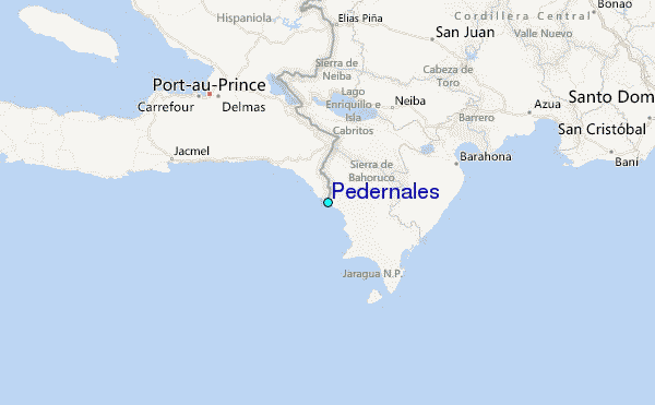