
| Distance / Altitude | Location | Report Date / Time | Live Weather | Wind | Gusts | Temp. | Visibility | Cloud |
|---|---|---|---|---|---|---|---|---|
| 80 km E / 5 m | Ahmad Yani International Airport (Indonesia) | 2024-04-29 20:30 local (2024/04/29 13:30 GMT) | Dry and partly cloudy | light winds from the SSE.(Wind varies from 120 to 200 degs) (6 km/h at 160) | 31°C | 6.0 | scattered | |
| 221 km WSW / 913 m | Cileuweung Dua wx (Indonesia) | 2024-04-29 21:35 local (2024/04/29 14:35 GMT) | - | calm (2 km/h at 42) | 23°C | - | - - 0 | |
| 314 km W / 8 m | Bambuasri wx (Indonesia) | 2024-04-29 21:45 local (2024/04/29 14:45 GMT) | - | calm (0 km/h at 0) | — | - | - - 0 | |
| 316 km W / 25 m | Halim Perdanakus Airport (Indonesia) | 2024-04-29 20:30 local (2024/04/29 13:30 GMT) | - | light winds from the ENE (9 km/h at 70) | 30°C | 8.0 | few | |
| 323 km WSW / 197 m | Selakopi wx (Indonesia) | 2024-04-29 21:42 local (2024/04/29 14:42 GMT) | - | calm (0 km/h at 0) | 32°C | - | - - 0 |
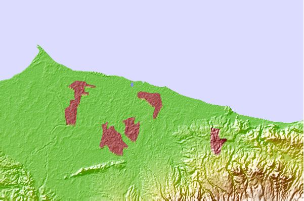
| Contours: | Roads & Rivers: | Select a
tide station / surf break / city |
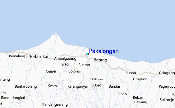
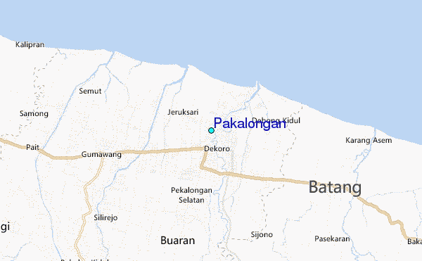
Use this relief map to navigate to tide stations, surf breaks and cities that are in the area of Pakalongan.
Other Nearby Locations' tide tables and tide charts to Pakalongan:
click location name for more details
 Surf breaks close to Pakalongan:
|
||
|---|---|---|
| Closest surf break | Karang Nini | 86 mi |
| Second closest surf break | Batu Mandi | 91 mi |
| Third closest surf break | Batu Hiu | 96 mi |
| Fourth closest surf break | Batu Karas | 101 mi |
| Fifth closest surf break | Keusik Luhur | 104 mi |

 Nearest
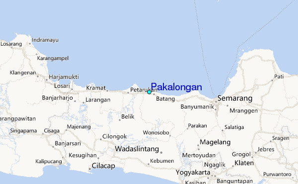