
| Distance / Altitude | Location | Report Date / Time | Live Weather | Wind | Gusts | Temp. | Visibility | Cloud |
|---|---|---|---|---|---|---|---|---|
| 2 km W / 188 m | Pemba Airport (Mozambique) | 2024-04-28 00:00 local (2024/04/27 22:00 GMT) | no report | moderate winds from the SSW (20 km/h at 210) | 25°C | 10.0 | few - - | |
| 2 km W / 1 m | Miceti wx (Mozambique) | 2024-04-28 00:04 local (2024/04/27 22:04 GMT) | - | moderate winds from the SSW (21 km/h at 210) | 25°C | - | - - 0 | |
| 188 km ESE / 15 m | SHIP10571 (Marine) | 2024-04-28 01:00 local (2024/04/27 23:00 GMT) | - (- km/h at -) | — | - km | |||
| 229 km S / 9 m | Lumbo (Mozambique) | 2024-04-27 23:00 local (2024/04/27 21:00 GMT) | no report | light winds from the S (9 km/h at 180) | 29°C | 30 | - | |
| 271 km S / 344 m | Merraveza wx (Mozambique) | 2024-04-28 00:04 local (2024/04/27 22:04 GMT) | - | light winds from the SSW (16 km/h at 210) | 21°C | - | - - 0 |

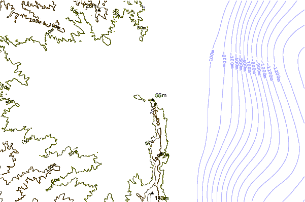
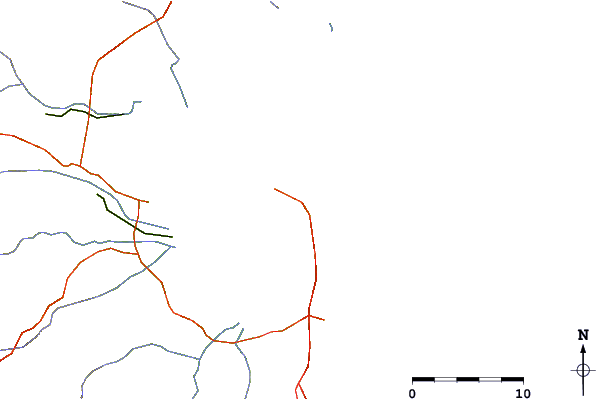
| Contours: | Roads & Rivers: | Select a
tide station / surf break / city |
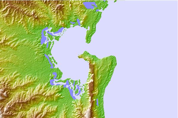
Use this relief map to navigate to tide stations, surf breaks and cities that are in the area of Pemba.
Other Nearby Locations' tide tables and tide charts to Pemba:
click location name for more details
 Surf breaks close to Pemba:
|
||
|---|---|---|
| Closest surf break | Oyster Bay Beach - Coco Beach | 437 mi |
| Second closest surf break | Sea Cliff | 439 mi |
| Third closest surf break | Jam's Right | 441 mi |
| Fourth closest surf break | Nungwi Reefs | 508 mi |
| Fifth closest surf break | Mombasa Channel | 617 mi |

 Nearest
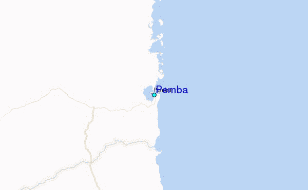