
| Distance / Altitude | Location | Report Date / Time | Live Weather | Wind | Gusts | Temp. | Visibility | Cloud |
|---|---|---|---|---|---|---|---|---|
| 246 km SSE / 216 m | Resolute Airport (N.w. Territories) | 2024-04-29 09:00 local (2024/04/29 13:00 GMT) | Light snow | light winds from the SE (15 km/h at 130) | -19°C | 24 | overcast | |
| 246 km SSE / 30 m | Resolute CS Airport (Nunavut) | 2024-04-29 09:00 local (2024/04/29 13:00 GMT) | no report | light winds from the SE (11 km/h at 130) | -19°C | 0.0 | - - - | |
| 247 km SSE / 30 m | Resolute (Canada) | 2024-04-29 09:00 local (2024/04/29 13:00 GMT) | no report | light winds from the SE (11 km/h at 130) | -19°C | - | - | |
| 286 km SW / 15 m | Rea Point- NU (Canada) | 2024-04-29 08:00 local (2024/04/29 12:00 GMT) | no report | moderate winds from the WNW (22 km/h at 290) | -19°C | - | - - - | |
| 287 km SW / 12 m | Rae Point (Nunavut) | 2024-04-29 09:00 local (2024/04/29 13:00 GMT) | - | moderate winds from the WNW (22 km/h at 290) | -19°C | 0.0 |
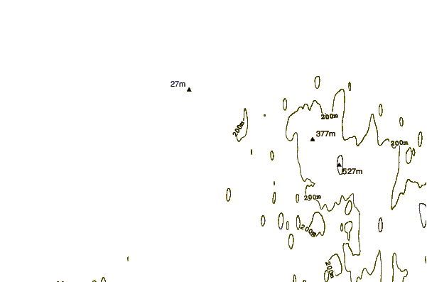
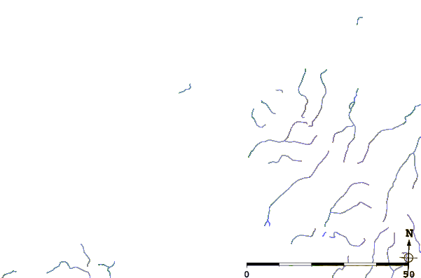
| Contours: | Roads & Rivers: | Select a
tide station / surf break / city |
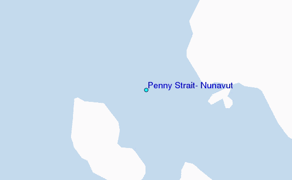
Use this relief map to navigate to tide stations, surf breaks and cities that are in the area of Penny Strait, Nunavut.
Other Nearby Locations' tide tables and tide charts to Penny Strait, Nunavut:
click location name for more details
 Surf breaks close to Penny Strait, Nunavut:
|
||
|---|---|---|
| Closest surf break | Graveyards | 1558 mi |
| Second closest surf break | Ocean Cape | 1559 mi |
| Third closest surf break | Cannon Beach | 1561 mi |
| Fourth closest surf break | Bird Point (Tidal Bore) | 1662 mi |
| Fifth closest surf break | Eyvik | 1741 mi |

 Nearest