
| Distance / Altitude | Location | Report Date / Time | Live Weather | Wind | Gusts | Temp. | Visibility | Cloud |
|---|---|---|---|---|---|---|---|---|
| 15 km NE / 3 m | SHIP586 (Marine) | 2024-04-27 20:00 local (2024/04/27 19:00 GMT) | - (- km/h at -) | 7°C | - | |||
| 42 km SSW / 66 m | Dyce (United Kingdom) | 2024-04-27 22:00 local (2024/04/27 21:00 GMT) | - | light winds from the SE (6 km/h at 130) | 5°C | 65 km | scattered | |
| 43 km SSW / 219 m | Aberdeen/Dyce Airport (United Kingdom) | 2024-04-27 21:20 local (2024/04/27 20:20 GMT) | Dry and partly cloudy | light winds from the SE (6 km/h at 130) | 5°C | 10.0 | broken | |
| 44 km SW / 69 m | Inverurie wx (United Kingdom) | 2024-04-27 21:33 local (2024/04/27 20:33 GMT) | dry | calm (2 km/h at 138) | 4°C | - | - - 0 | |
| 55 km S / 31 m | Peterculter wx (United Kingdom) | 2024-04-27 21:32 local (2024/04/27 20:32 GMT) | dry | calm (0 km/h at 0) | 3°C | - | - - 0 |
| Contours: | Roads & Rivers: | Select a
tide station / surf break / city |
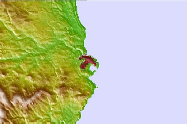
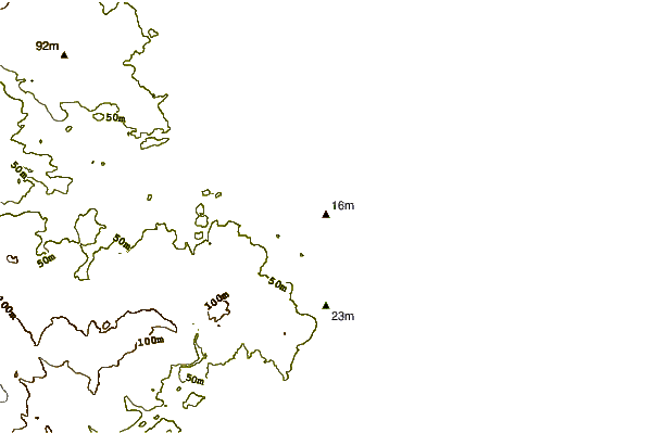
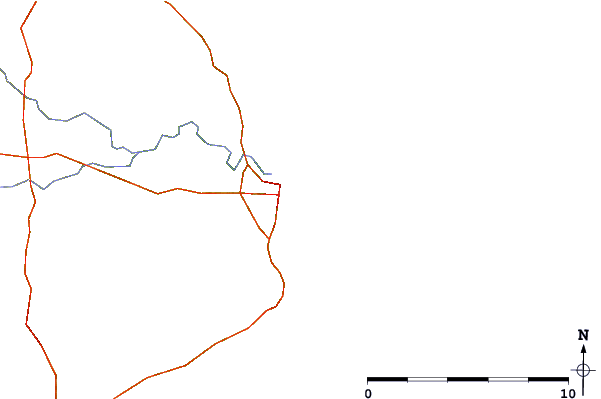
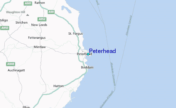
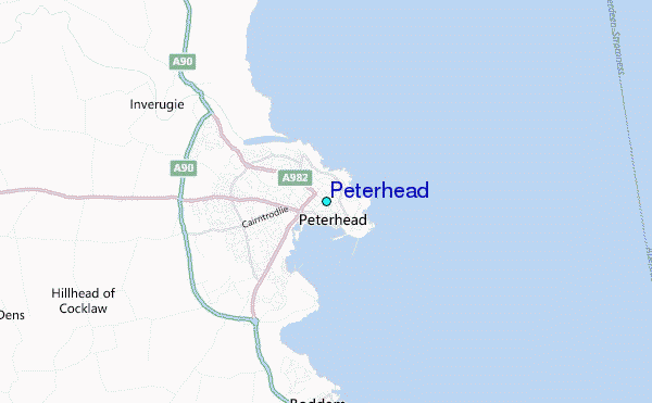
Use this relief map to navigate to tide stations, surf breaks and cities that are in the area of Peterhead.
Other Nearby Locations' tide tables and tide charts to Peterhead:
click location name for more details
 Surf breaks close to Peterhead:
|
||
|---|---|---|
| Closest surf break | Sandford Bay | 2 mi |
| Second closest surf break | Cruden Bay | 7 mi |
| Third closest surf break | St Combs | 12 mi |
| Fourth closest surf break | Fraserburgh | 14 mi |
| Fifth closest surf break | West Point | 16 mi |

 Nearest
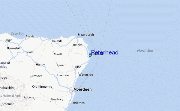