
| Distance / Altitude | Location | Report Date / Time | Live Weather | Wind | Gusts | Temp. | Visibility | Cloud |
|---|---|---|---|---|---|---|---|---|
| 152 km WNW / 205 m | Ấp Phước Quả B wx (Vietnam) | 2024-04-29 00:43 local (2024/04/28 17:43 GMT) | dry | calm (0 km/h at 121) | 28°C | - | - - 0 | |
| 157 km WSW / 218 m | Ho Chi Minh/Tan Son Nhat International Airport (Viet Nam) | 2024-04-29 00:30 local (2024/04/28 17:30 GMT) | - | light winds from the S (11 km/h at 190) | 31°C | 10.0 | few | |
| 170 km NE / 12 m | Cam Ranh Bay Airport (Viet nam) | 2024-04-29 00:30 local (2024/04/28 17:30 GMT) | - | light winds from the SSW (13 km/h at 200) | — | 0.0 | ||
| 203 km ESE / - m | SHIP6160 (ocean) | 2024-04-28 23:00 local (2024/04/28 16:00 GMT) | State of sky unchanged | light winds from the SE (13 km/h at 140) | 29°C | 20 km | few | |
| 252 km WSW / 6 m | Svay Rieng (Cambodia) | 2024-04-29 01:00 local (2024/04/28 18:00 GMT) | no report | calm (4 km/h at 210) | 31°C | - | - no observation - |
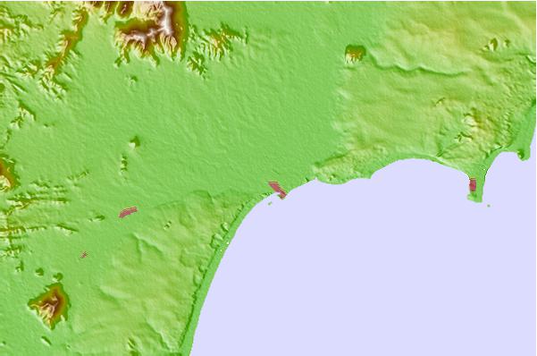
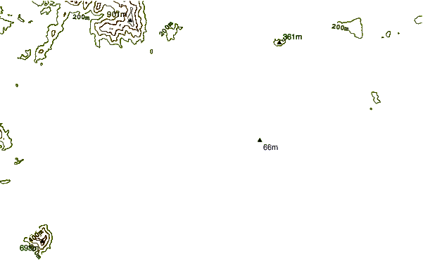
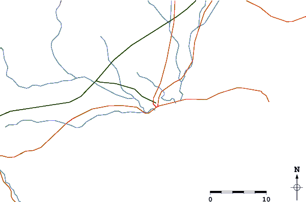
| Contours: | Roads & Rivers: | Select a
tide station / surf break / city |
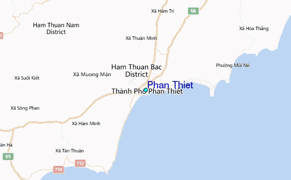
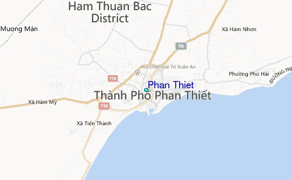
Use this relief map to navigate to tide stations, surf breaks and cities that are in the area of Phan Thiet.
Other Nearby Locations' tide tables and tide charts to Phan Thiet:
click location name for more details
 Surf breaks close to Phan Thiet:
|
||
|---|---|---|
| Closest surf break | Mui Ne | 13 mi |
| Second closest surf break | Vung Tau (Back Beach) | 80 mi |
| Third closest surf break | Bai Dai Nha Trang | 111 mi |
| Fourth closest surf break | Dark Reef | 113 mi |
| Fifth closest surf break | Bamboo Island | 310 mi |

 Nearest
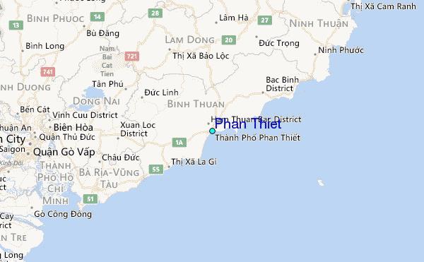