
| Distance / Altitude | Location | Report Date / Time | Live Weather | Wind | Gusts | Temp. | Visibility | Cloud |
|---|---|---|---|---|---|---|---|---|
| 11 km SW / 219 m | Dakar/Yoff-Léopold Sédar Senghor International Airport (Senegal) | 2024-09-20 23:00 local (2024/09/20 23:00 GMT) | Dry and partly cloudy | light winds from the NW.(Wind varies from 290 to 350 degs) (15 km/h at 310) | 27°C | 10.0 | scattered | |
| 37 km ESE / 89 m | Blaise Diagne International Airport (Senegal) | 2024-09-20 23:30 local (2024/09/20 23:30 GMT) | Dry and partly cloudy | light winds from the NNW (13 km/h at 330) | 25°C | 10.0 | few few - | |
| 128 km E / 9 m | Diourbel (Senegal) | 2024-09-20 23:00 local (2024/09/20 23:00 GMT) | - | light winds from the N (11 km/h at 360) | — | 0.0 | - - - | |
| 160 km ESE / 7 m | Kaolack Airport (Senegal) | 2024-09-20 23:00 local (2024/09/20 23:00 GMT) | Thunderstorm - | light winds from the N (19 km/h at 360) | 28°C | 10.0 | scattered few | |
| 177 km NE / 499 m | Saint Louis (Senegal) | 2024-09-20 23:00 local (2024/09/20 23:00 GMT) | - | light winds from the N.(Wind varies from 310 to 050 degs) (7 km/h at 360) | — | 0.0 | - - - | |
| 192 km N / 15 m | ASCATB343E16N (Marine) | 2024-09-20 21:45 local (2024/09/20 21:45 GMT) | moderate winds from the NNW (27 km/h at 346) | — | - km | |||
| 225 km W / 15 m | SHIP5562 (Marine) | 2024-09-21 00:00 local (2024/09/21 00:00 GMT) | - (- km/h at -) | — | - km | |||
| 255 km ENE / 21 m | Linguere Airport (Senegal) | 2024-09-20 23:00 local (2024/09/20 23:00 GMT) | Dry and partly cloudy | light winds from the SW (7 km/h at 220) | 29°C | 10.0 | broken | |
| 269 km SSE / 407 m | Cape Skiring Airport (Senegal) | 2024-09-20 23:00 local (2024/09/20 23:00 GMT) | Thunderstorm - | light winds from the NW (7 km/h at 320) | 28°C | 10.0 | few few | |
| 273 km SSE / 482 m | Ziguinchor (Senegal) | 2024-09-20 23:00 local (2024/09/20 23:00 GMT) | Thunderstorm heavy rain thunderstorm | light winds from the SE (11 km/h at 140) | 25°C | 4.0 | broken scattered overcast |
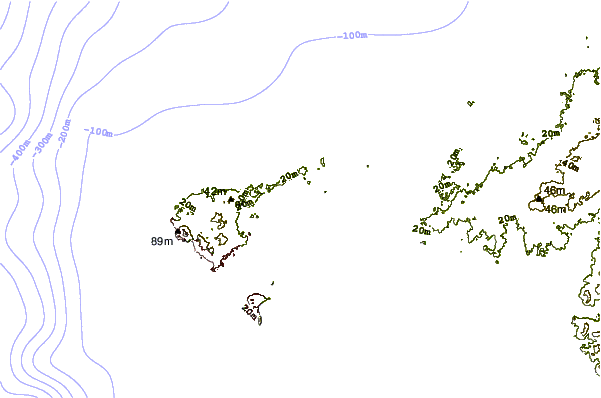
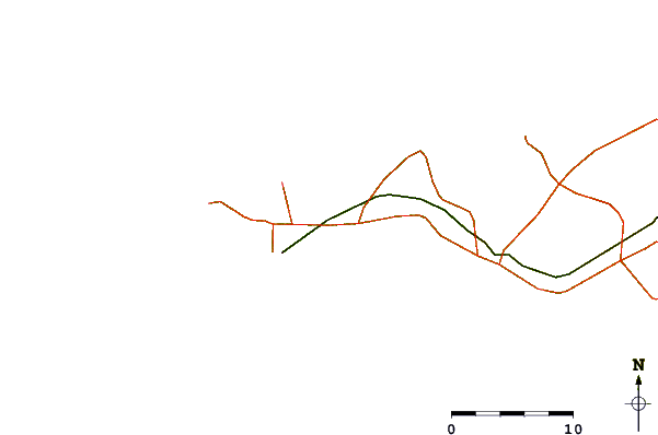
| Contours: | Roads & Rivers: | Select a
tide station / surf break / city |
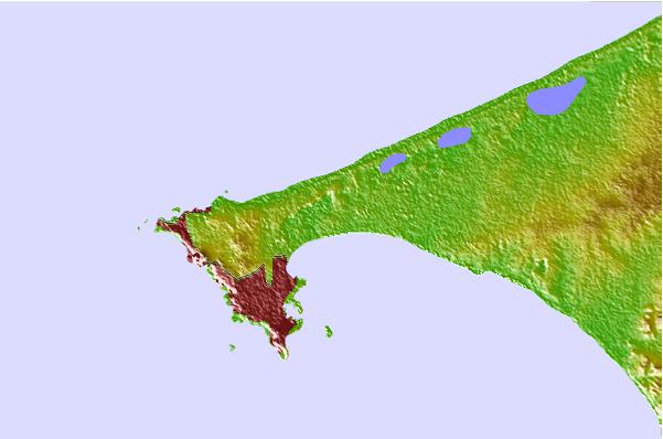
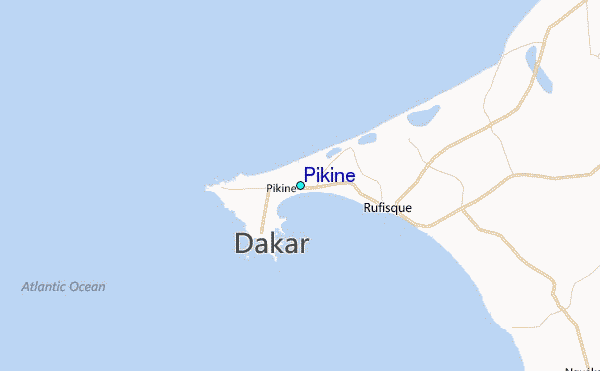
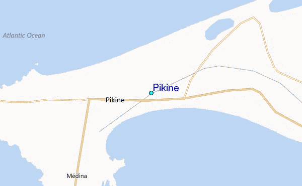
Use this relief map to navigate to tide stations, surf breaks and cities that are in the area of Pikine.
Other Nearby Locations' tide tables and tide charts to Pikine:
click location name for more details
 Surf breaks close to Pikine:
|
||
|---|---|---|
| Closest surf break | Malika Sur Mer | 2 mi |
| Second closest surf break | Yoff Beach | 4 mi |
| Third closest surf break | Yoff Island | 6 mi |
| Fourth closest surf break | Le Virage | 6 mi |
| Fifth closest surf break | Ouakam | 7 mi |

 Nearest
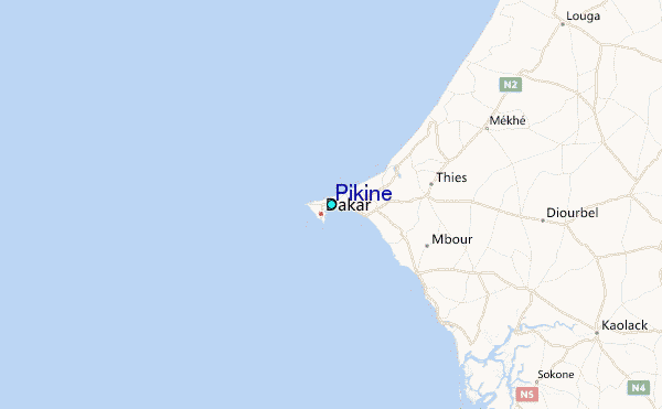