
| Distance / Altitude | Location | Report Date / Time | Live Weather | Wind | Gusts | Temp. | Visibility | Cloud |
|---|---|---|---|---|---|---|---|---|
| 227 km SSE / 123 m | Kuujjuaq- Ua- Que (Canada) | 2024-05-01 05:00 local (2024/05/01 09:00 GMT) | no report | light winds from the N (7 km/h at 360) | -8°C | 0.8 km | - no observation - | |
| 228 km SSE / 216 m | Kuujjuaq Airport (Quebec) | 2024-05-01 05:00 local (2024/05/01 09:00 GMT) | Fog freezing - | light winds from the N (9 km/h at 360) | — | 1 | ||
| 252 km WNW / 503 m | Parc National Des Pingualuit- Que (Canada) | 2024-05-01 05:00 local (2024/05/01 09:00 GMT) | no report | light winds from the E (9 km/h at 90) | -12°C | - | - no observation - | |
| 285 km ENE / 47 m | Killinek (Canada) | 2024-05-01 05:00 local (2024/05/01 09:00 GMT) | - | calm (4 km/h at 350) | — | - | no observation | |
| 292 km SSW / 171 m | Riviere Aux Feuilles- Que (Canada) | 2024-05-01 05:00 local (2024/05/01 09:00 GMT) | no report | moderate winds from the ENE (20 km/h at 60) | -10°C | - | - no observation - |

| Contours: | Roads & Rivers: | Select a
tide station / surf break / city |
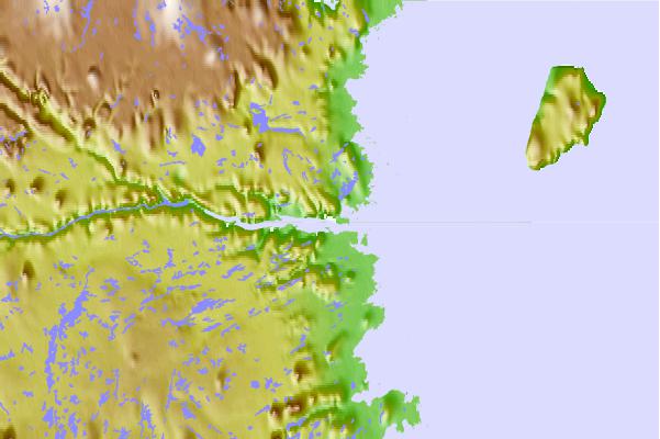
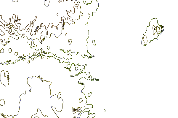
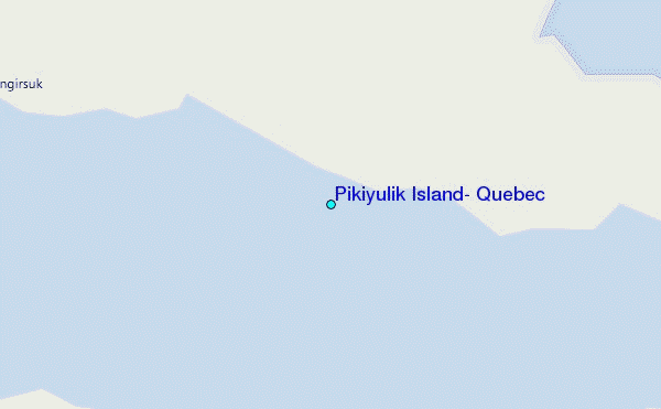
Use this relief map to navigate to tide stations, surf breaks and cities that are in the area of Pikiyulik Island, Quebec.
Other Nearby Locations' tide tables and tide charts to Pikiyulik Island, Quebec:
click location name for more details
 Surf breaks close to Pikiyulik Island, Quebec:
|
||
|---|---|---|
| Closest surf break | Ingonish Beach | 1002 mi |
| Second closest surf break | Marathon | 1022 mi |
| Third closest surf break | Kennington Cove | 1057 mi |
| Fourth closest surf break | Michaud Point | 1067 mi |
| Fifth closest surf break | Alona Bay | 1070 mi |

 Nearest
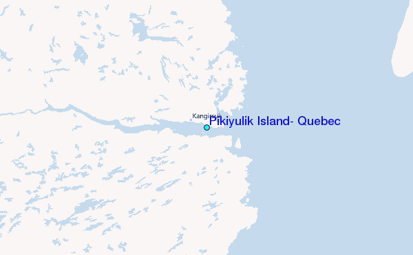