
| Distance / Altitude | Location | Report Date / Time | Live Weather | Wind | Gusts | Temp. | Visibility | Cloud |
|---|---|---|---|---|---|---|---|---|
| 8 km SSW / 3 m | BUOY-ACXS1 (Marine) | 2024-04-27 16:45 local (2024/04/27 20:45 GMT) | calm (4 km/h at 110) | 24°C | - | |||
| 31 km SSW / 4 m | Beaufort Executive Airport (South Carolina) (South Carolina) | 2024-04-27 17:35 local (2024/04/27 21:35 GMT) | Clear | light winds from the ESE (13 km/h at 120) | 22°C | 16 | ||
| 34 km SW / 219 m | Beaufort Marine Corps Air Station Airport (South Carolina) | 2024-04-27 16:56 local (2024/04/27 20:56 GMT) | Dry and partly cloudy | light winds from the SSE (11 km/h at 150) | 24°C | 16 | few broken | |
| 36 km S / 3 m | BUOY-41067 (Marine) | 2024-04-27 17:00 local (2024/04/27 21:00 GMT) | - (- km/h at -) | — | - | |||
| 38 km ENE / 6 m | Charleston Executive Airport (South Carolina) (South Carolina) | 2024-04-27 17:35 local (2024/04/27 21:35 GMT) | - | light winds from the ESE (17 km/h at 120) | 24°C | 16 | few |
| Contours: | Roads & Rivers: | Select a
tide station / surf break / city |
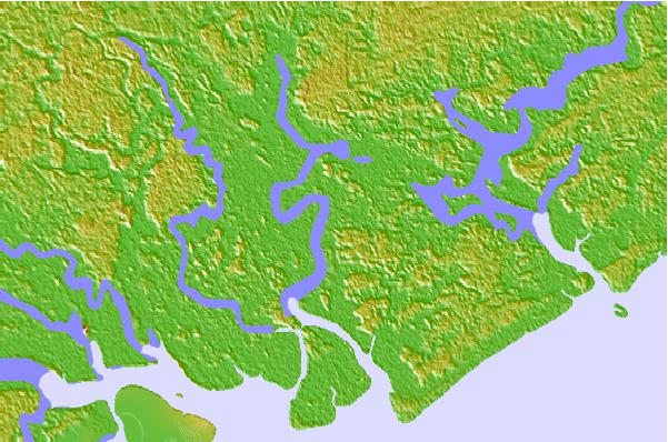
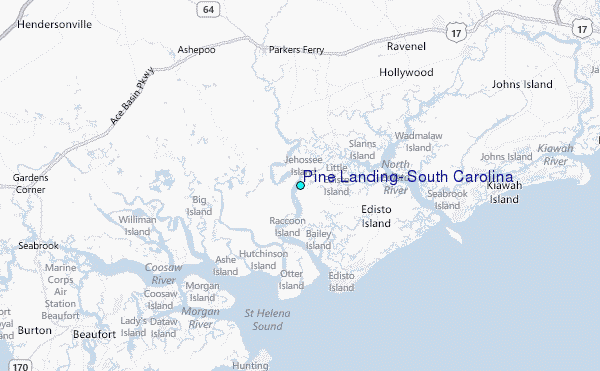
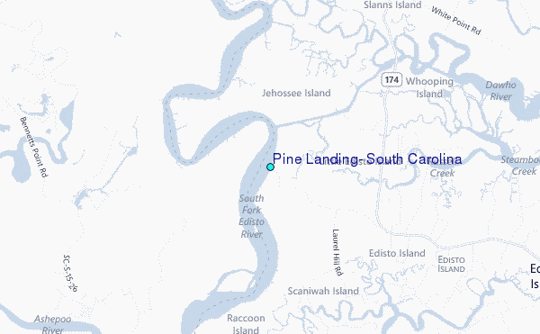
Use this relief map to navigate to tide stations, surf breaks and cities that are in the area of Pine Landing, South Carolina.
Other Nearby Locations' tide tables and tide charts to Pine Landing, South Carolina:
click location name for more details
 Surf breaks close to Pine Landing, South Carolina:
|
||
|---|---|---|
| Closest surf break | Edisto Beach | 9 mi |
| Second closest surf break | Hunting Island | 19 mi |
| Third closest surf break | Folly Beach Pier | 26 mi |
| Fourth closest surf break | Folly Beach | 27 mi |
| Fifth closest surf break | The Washout | 29 mi |

 Nearest
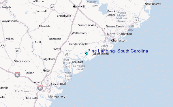