
| Distance / Altitude | Location | Report Date / Time | Live Weather | Wind | Gusts | Temp. | Visibility | Cloud |
|---|---|---|---|---|---|---|---|---|
| 26 km SSE / 15 m | SHIP10463 (Marine) | 2024-04-28 21:00 local (2024/04/28 21:00 GMT) | - (- km/h at -) | — | - km | |||
| 55 km SSE / 118 m | Stykkisholmur (Iceland) | 2024-04-28 23:00 local (2024/04/28 23:00 GMT) | no report | light winds from the NNE (9 km/h at 20) | 5°C | 70 | - | |
| 71 km N / 27 m | Bolungavik (Iceland) | 2024-04-28 23:00 local (2024/04/28 23:00 GMT) | no report | light winds from the N (15 km/h at 360) | 3°C | - | - | |
| 71 km W / 3 m | Blakknes Buoy- Iceland (Marine) | 2024-04-28 22:00 local (2024/04/28 22:00 GMT) | - (- km/h at -) | — | - | |||
| 75 km S / 6 m | Gufuskalar (Iceland) | 2024-04-28 21:00 local (2024/04/28 21:00 GMT) | no report | moderate winds from the ENE (24 km/h at 70) | 6°C | - | - |
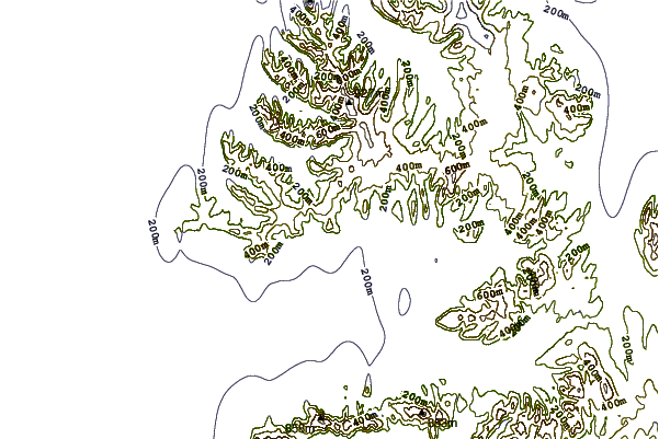
| Contours: | Roads & Rivers: | Select a
tide station / surf break / city |
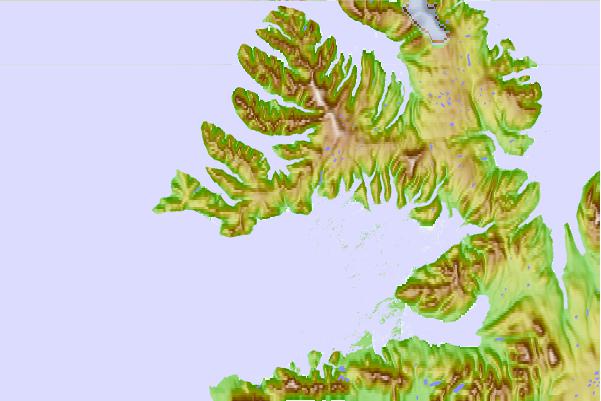
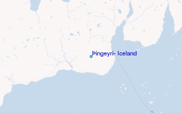
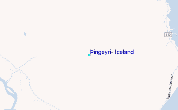
Use this relief map to navigate to tide stations, surf breaks and cities that are in the area of Þingeyri, Iceland.
Other Nearby Locations' tide tables and tide charts to Pingeyri, Iceland:
click location name for more details
 Surf breaks close to Pingeyri, Iceland:
|
||
|---|---|---|
| Closest surf break | Garur | 101 mi |
| Second closest surf break | Grotta | 101 mi |
| Third closest surf break | Hafnarfjordur | 108 mi |
| Fourth closest surf break | Hafnir | 111 mi |
| Fifth closest surf break | Grindavik Antenas | 119 mi |

 Nearest