
| Distance / Altitude | Location | Report Date / Time | Live Weather | Wind | Gusts | Temp. | Visibility | Cloud |
|---|---|---|---|---|---|---|---|---|
| 154 km SW / 3 m | SHIP9591 (Marine) | 2024-05-05 00:00 local (2024/05/05 05:00 GMT) | calm (4 km/h at 20) | 27°C | 9.3 | |||
| 177 km E / 1224 m | Pereira/Matecaña International Airport (Columbia) | 2024-05-05 01:00 local (2024/05/05 06:00 GMT) | Light rain | light winds from the E.(Wind varies from 050 to 110 degs) (6 km/h at 80) | 19°C | 10.0 | overcast | |
| 190 km SE / 969 m | CaliAlfonsoBonillaAragon (Colombia) | 2024-05-05 01:00 local (2024/05/05 06:00 GMT) | Fog at a distance | light winds from the E (7 km/h at 100) | 21°C | 28 km | - overcast - | |
| 193 km SE / 650 m | Cali/Alfonso Bonilla Aragón International Airport (Columbia) | 2024-05-05 01:00 local (2024/05/05 06:00 GMT) | Fog - in the vicinity | light winds from the E (6 km/h at 100) | 21°C | 7.0 | scattered broken | |
| 207 km E / 1845 m | Neira wx (Colombia) | 2024-05-05 02:09 local (2024/05/05 07:09 GMT) | - | calm (2 km/h at 55) | 12°C | - | - - 0 |
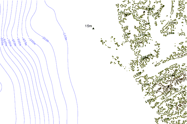
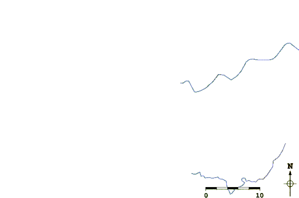
| Contours: | Roads & Rivers: | Select a
tide station / surf break / city |
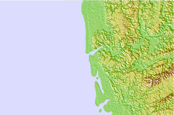
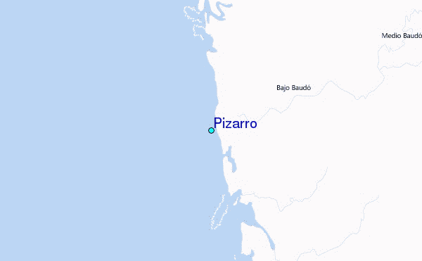
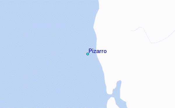
Use this relief map to navigate to tide stations, surf breaks and cities that are in the area of Pizarro.
Other Nearby Locations' tide tables and tide charts to Pizarro:
click location name for more details
 Surf breaks close to Pizarro:
|
||
|---|---|---|
| Closest surf break | Secret Right | 40 mi |
| Second closest surf break | Pela Pela | 44 mi |
| Third closest surf break | Pico de Loro | 44 mi |
| Fourth closest surf break | El Mystic | 47 mi |
| Fifth closest surf break | Termales | 47 mi |

 Nearest
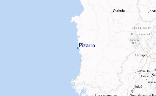