
| Distance / Altitude | Location | Report Date / Time | Live Weather | Wind | Gusts | Temp. | Visibility | Cloud |
|---|---|---|---|---|---|---|---|---|
| 76 km NE / 6 m | GuayaquilAeropuerto (Ecuador) | 2024-04-28 22:00 local (2024/04/29 03:00 GMT) | Lightning visible, no thunder heard | light winds from the SW (9 km/h at 230) | 28°C | 30 km | - mostly cloudy - | |
| 80 km NE / 211 m | Guayaquil/José Joaquín de Olmedo International Airport (Ecuador) | 2024-04-28 23:00 local (2024/04/29 04:00 GMT) | Dry and partly cloudy | light winds from the SSW (9 km/h at 210) | 28°C | 10.0 | broken scattered | |
| 84 km SSE / 12 m | Puerto Pito wx (Ecuador) | 2024-04-28 23:33 local (2024/04/29 04:33 GMT) | dry | light winds from the WNW (13 km/h at 300) | 27°C | - | - - 0 | |
| 100 km S / 158 m | Tumbes Pedro Canga Rodríguez Airport (Peru) | 2024-04-28 22:00 local (2024/04/29 03:00 GMT) | Dry and partly cloudy | calm (0 km/h at 0) | 27°C | 10.0 | broken | |
| 101 km S / 27 m | Tumbes (Peru) | 2024-04-28 22:00 local (2024/04/29 03:00 GMT) | State of sky unchanged | calm (0 km/h at 0) | 27°C | 30 km | mostly cloudy |
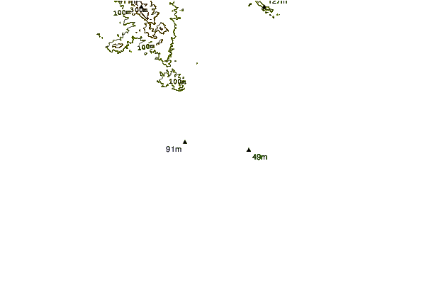
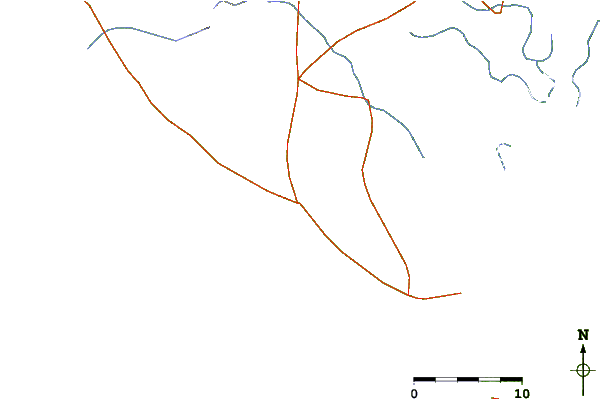
| Contours: | Roads & Rivers: | Select a
tide station / surf break / city |
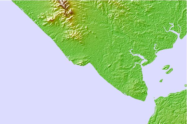
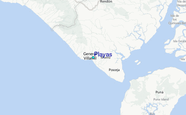
Use this relief map to navigate to tide stations, surf breaks and cities that are in the area of Playas.
Other Nearby Locations' tide tables and tide charts to Playas:
click location name for more details
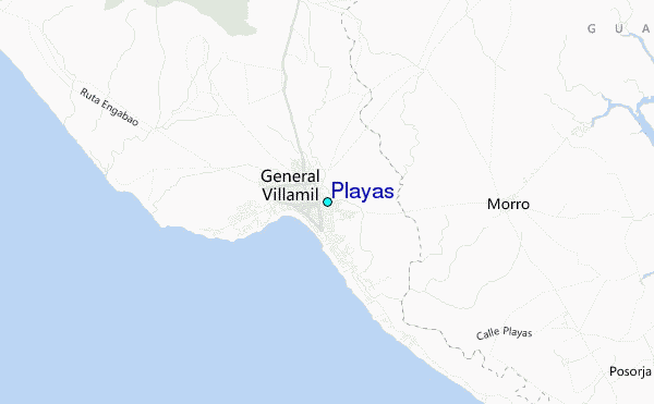
 Surf breaks close to Playas:
|
||
|---|---|---|
| Closest surf break | Chabela (Playas de villamil) | 1 mi |
| Second closest surf break | Olas Verdes | 2 mi |
| Third closest surf break | Sharkbay | 2 mi |
| Fourth closest surf break | La Puntilla | 2 mi |
| Fifth closest surf break | El Pelado | 6 mi |

 Nearest
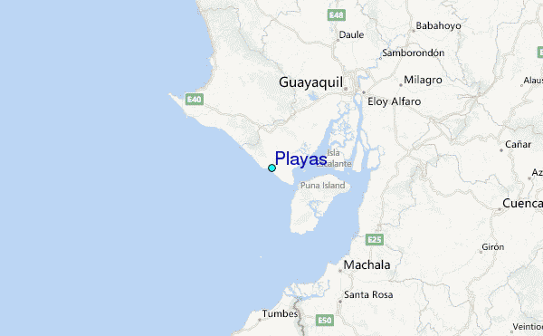